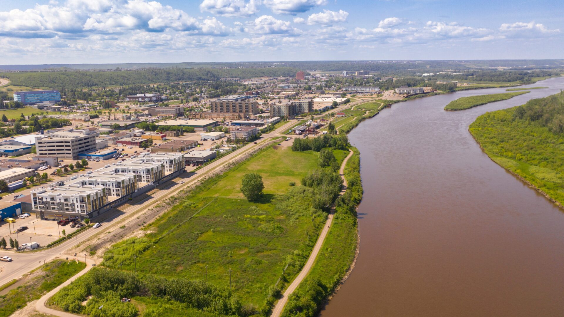
Alberta says flood resilience investments helped prevent serious damage
With multiple heavy rainfall events, including historic rainfall in some areas, and a challenging spring breakup of ice cover on northern rivers, Alberta’s multi-level flood…

With multiple heavy rainfall events, including historic rainfall in some areas, and a challenging spring breakup of ice cover on northern rivers, Alberta’s multi-level flood…
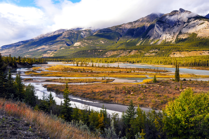
Alberta has completed close to 300 kilometres of new flood mapping for communities across the province, marking another step in its accelerated effort to improve…

Canadians across the country are already facing the consequences of climate change, which is causing more frequent and severe weather. Climate-related natural disasters, including flooding,…

The Water Security Agency (WSA) is continuing to enhance and improve water management for the province with a key investment in the Flood Hazard Identification…

The Government of Yukon has launched a new online Flood Atlas, making it simpler to access details on flood-related alerts and long-term flood preparation in…
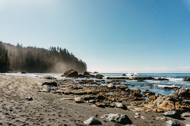
Ottawa and Washington, D.C. – The International Joint Commission (IJC) is announcing that the data mapping products, tools and models that resulted from the International…

B.C. – The Lower Chemainus River is a floodplain, which means it is prone to periodic flooding. Flooding can impact properties, infrastructure, businesses, and the…
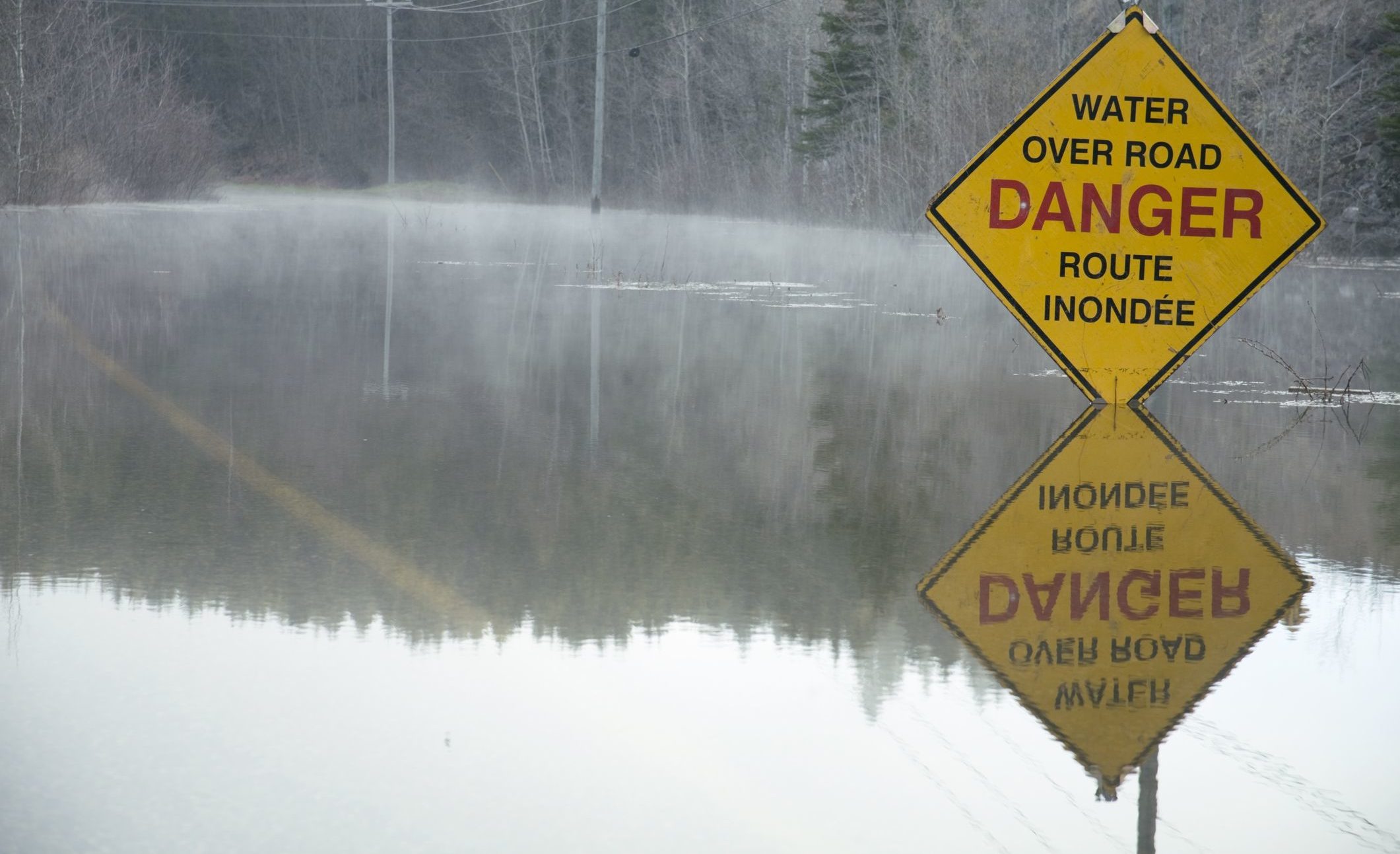
New Brunswick’s Department of Environment and Local Government has used the latest available technology to create a flood map for 2018. That year, the worst…
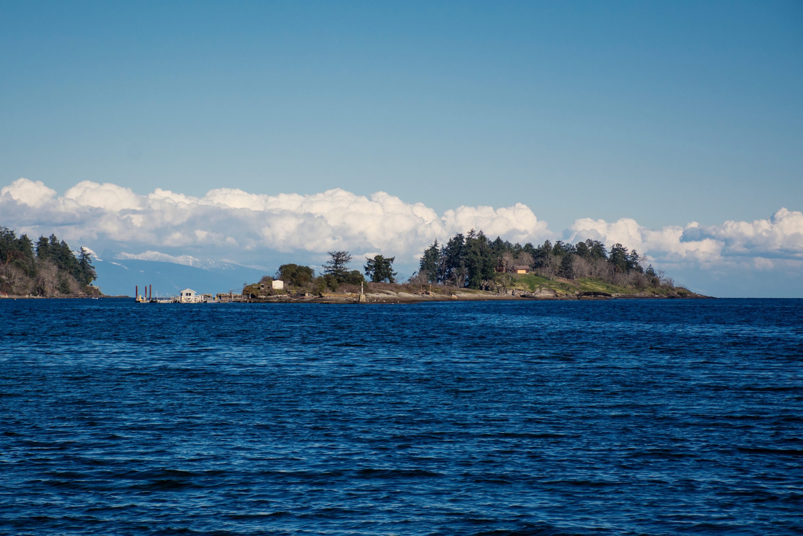
The Regional District of Nanaimo (RDN) is launching a new flood hazard study of the Englishman River. The study and resulting maps will replace the…
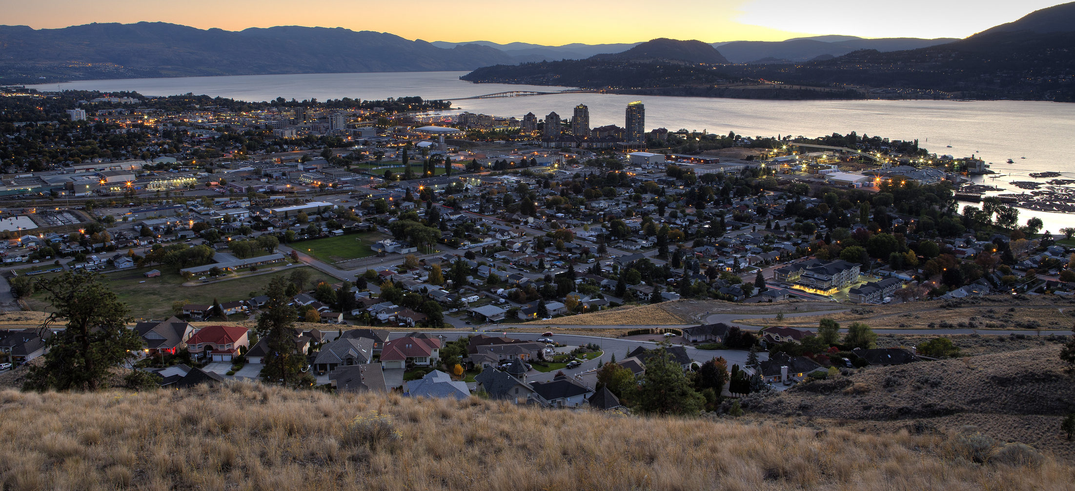
The Okanagan Basin Water Board (OBWB) has launched the “Okanagan Flood Story” website, which aims to help residents and local governments minimize flood risk. “We’re very…
Richer data can help improve the accuracy of flood hazard maps that are used by governments, insurers, and investors to determine the flood risk, according…

The federal minister of public safety and emergency preparedness, Ralph Goodale, and the minister responsible for the Saskatchewan Water Security Agency, Dustin Duncan, have announced…
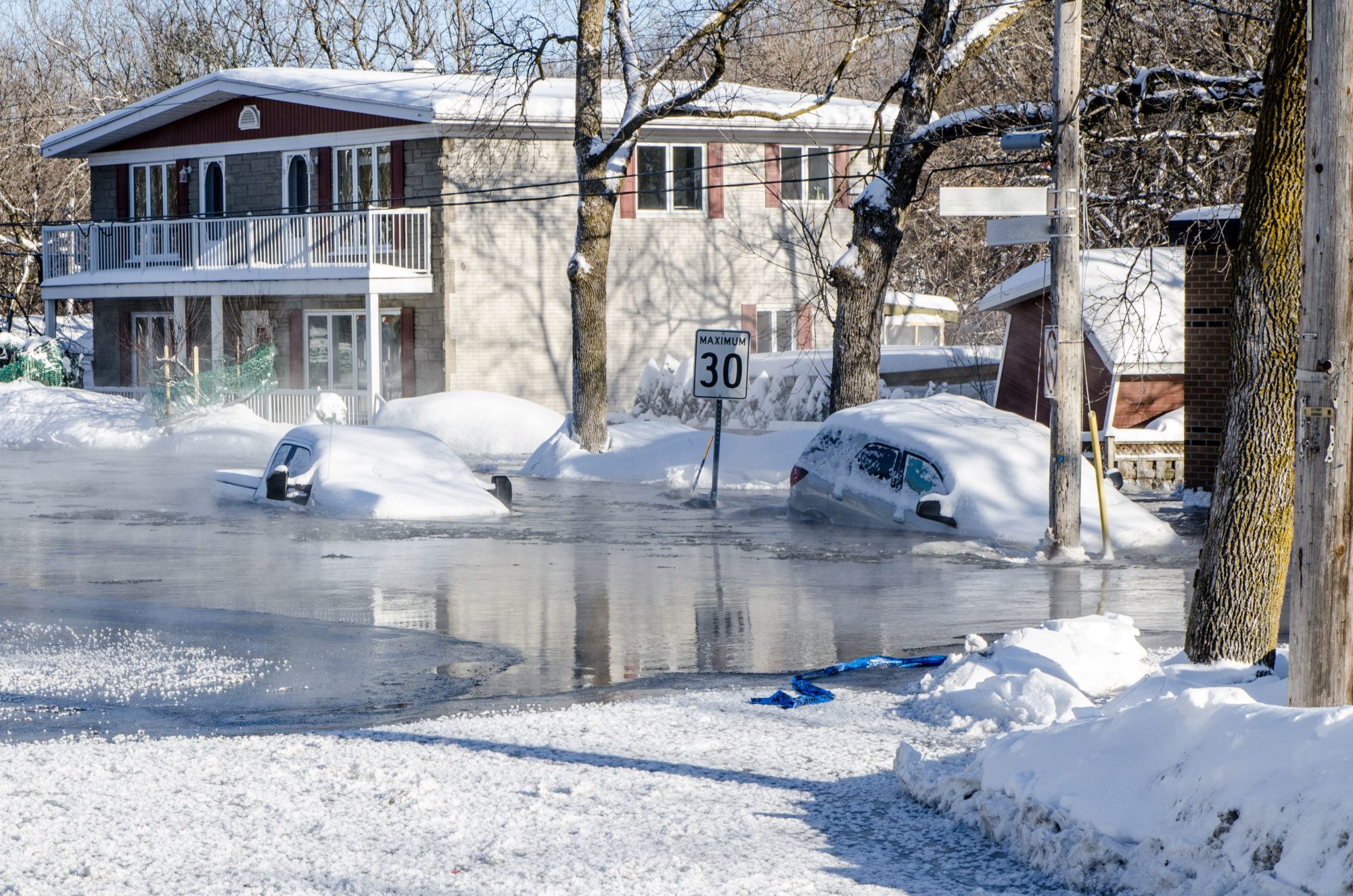
Canadian homeowners do not have the information they need to know if they should buy flood insurance, leaving them exposed to significant financial risk. A…
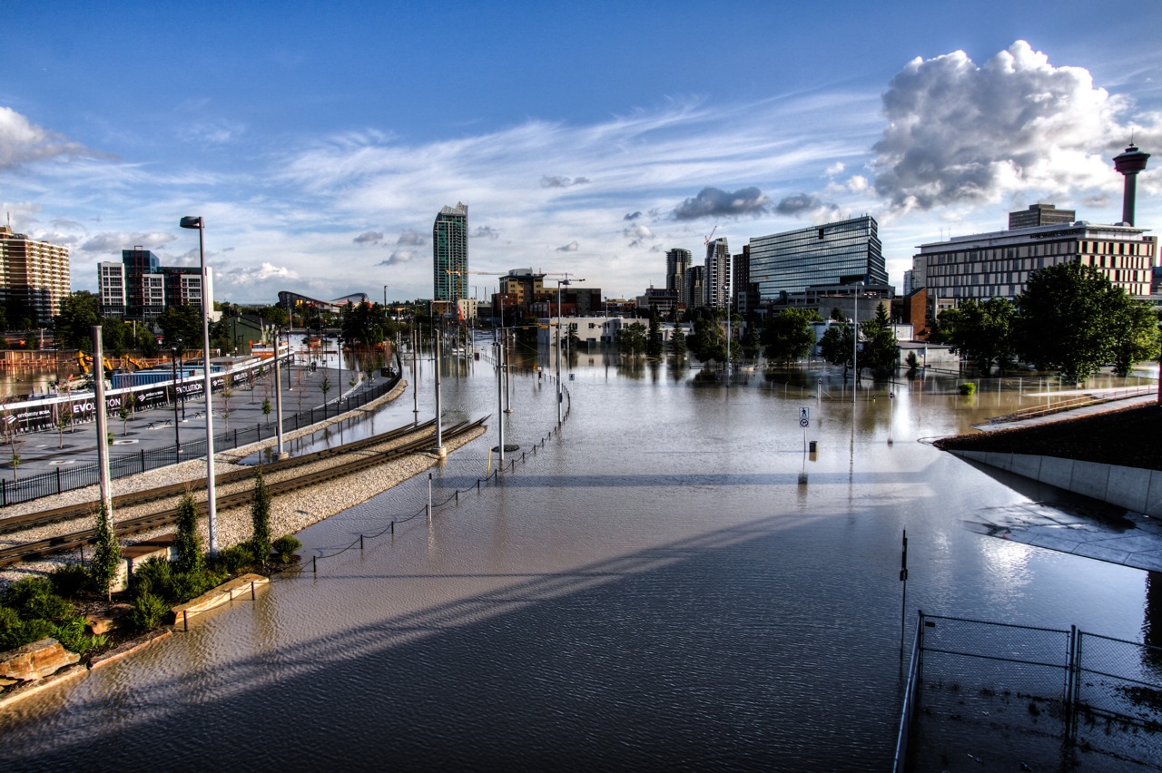
More than two dozen Albertan communities are getting new and replacement flood mapping to support emergency response and long-term planning in the province. The federal…
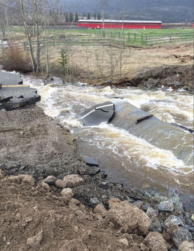
On Friday, more than $16.5 million in federal and provincial funding was announced to support work on 32 projects under the National Disaster Mitigation Program (NDMP). Joyce…
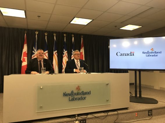
Ralph Goodale, Minister of Public Safety and Emergency Preparedness, has announced close to $1 million in federal funding to Newfoundland and Labrador under the National…
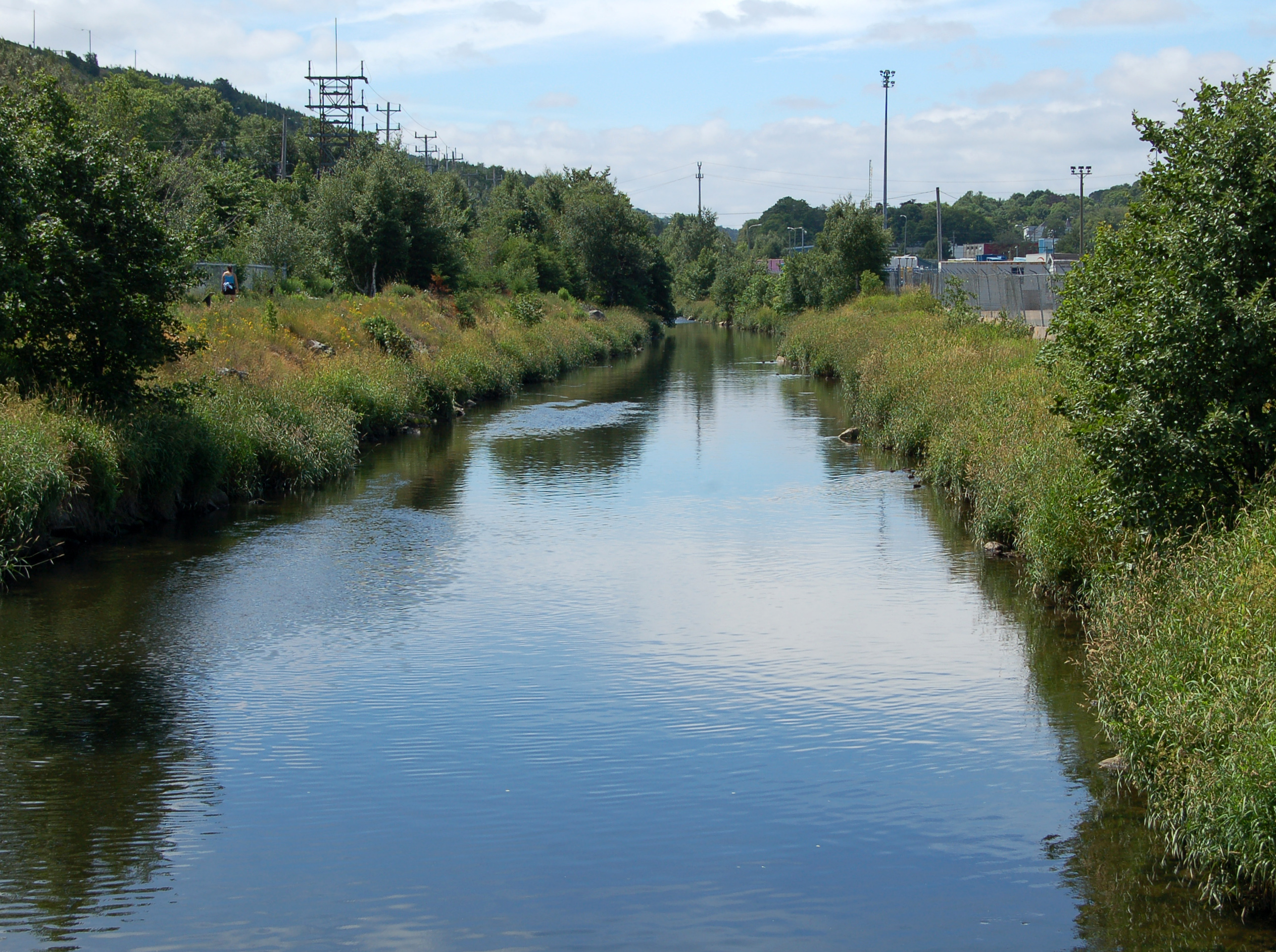
Newfoundland and Labrador has released a flood risk mapping study of the Waterford River and its major tributaries. The new study was undertaken in November…
The governments of New Brunswick and Canada will invest $1.14 million in two flood mapping projects to help communities within the province predict the impact…
Newfoundland and Labrador has awarded a contract for a flood risk mapping study, a flood forecasting model, and a flood forecasting service for the lower…
Columbia Basin Trust has announced support for 12 climate action projects with over $540,000 through the first year of its three-year Climate Action Program. A number of…
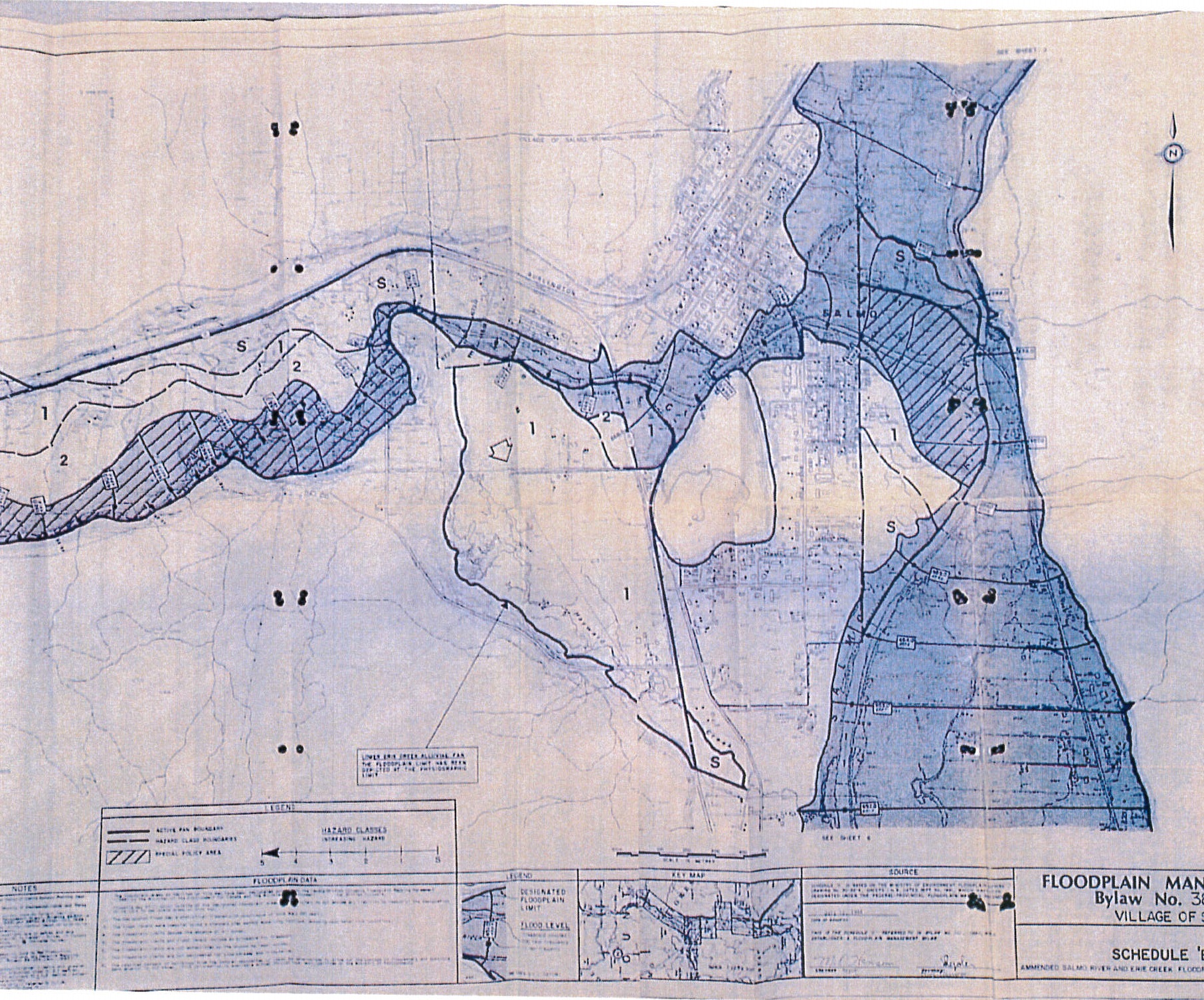
The Village of Salmo, B.C. has announced the receipt of a grant for $150,000 to cover 100 per cent of the costs of a flood…
On Saturday, Canada and British Columbia announced the first annual progress report on the implementation of the Pan-Canadian Framework on Clean Growth and Climate Change, the first pan-Canadian…
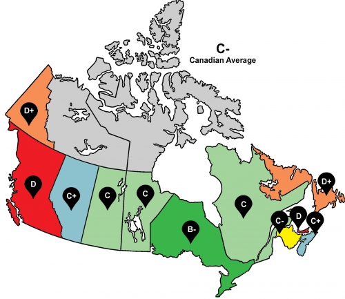
A new report from the Intact Centre on Climate Adaptation out of the University of Waterloo finds all 10 provinces and Yukon are ill-prepared for flooding as…