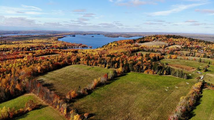
The Regional District of Nanaimo (RDN) is launching a new flood hazard study of the Englishman River.
The study and resulting maps will replace the existing floodplain maps produced by the provincial government in 1985. The new maps will provide better information to support land use and emergency planning, which will in turn help reduce the risks of flooding.
“The RDN recognizes the importance of making this information available to communities to help them proactively plan for and increase our resiliency to flooding,” said Ian Thorpe, chair of the RDN. “Updating the Englishman River flood hazard maps will help to inform better decision making now and into the future.”
Using the latest approaches in science and engineering, along with applicable climate change data, the flood hazard maps will provide a visualization of predicted water levels and location to help communities adapt to our changing environment.
The maps are being developed for the RDN’s Sea Level Rise and Climate Adaptation Program, the maps will be used by engineers and the development industry to plan construction projects near the Englishman River and estuary. The maps will also inform updates to the RDN’s land use bylaws.
The Englishman River Flood Hazard Mapping project is partially funded through a grant from the Province of B.C.’s Community Emergency Preparedness Fund. The RDN is currently inviting proposals from engineering professionals through the Request for Proposals process until July 23, 2020. The project is anticipated to be completed in the summer of 2021.