Richer data can help improve the accuracy of flood hazard maps that are used by governments, insurers, and investors to determine the flood risk, according to a study by the Canadian Water Network (CWN) and Insurance Bureau of Canada (IBC).
Large-scale flood risk models currently rely on low-resolution (30-metre) topographical data of mixed quality that give limited consideration to municipal flood defences. The study found that five-metre grid spacing provided the optimal resolution to evaluate flooding from intense rain events.
“The study’s conclusions are important for insurers wanting to expand flood coverage for consumers, particularly in areas identified as high risk on traditional flood hazard maps,” said Craig Stewart, vice president of federal affairs at IBC. “Improving access to richer information is a significant opportunity for Canadian municipalities, insurers, and homeowners to better understand flood risk and to take action.”
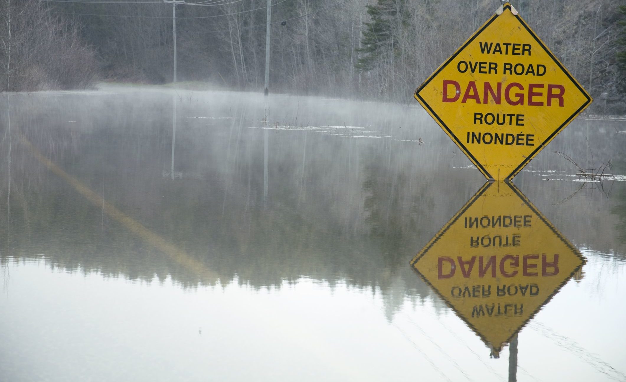
Flooding is a costly issue for Canadian homeowners, municipalities, and the insurance sector – and these costs have been growing. Property and casualty insurance payouts from extreme weather have more than doubled every five to 10 years since the 1980s.
The project’s conclusions support IBC’s position on the need for a National Action Plan on Flooding. Specifically, they strengthen IBC’s call on governments to target priority infrastructure investments in the areas at highest risk of flooding to protect as many people as cost-effectively as possible.
Stewart said IBC is also calling on governments to immediately invest in improving the quality of terrain data and to make that data available so that property-owners can identify their properties’ exposure to floods and take measures to protect themselves.
“We need a proactive, cross-sector effort to continue to advance flood risk evaluation in Canada, one that reaps more value and effective actions from our collective expertise and knowledge,” said Bernadette Conant, chief executive officer of CWN.
Conant’s team presented the study’s findings to decision-makers from the various sectors earlier this spring and facilitated a discussion with IBC on next steps.
“There is a wealth of data available – it’s a matter of coordinating that information in a way that is useful to all sectors,” Conant said.
The study emphasizes that Canada has an opportunity to create a central hub to connect and curate relevant data from the various sectors to improve flood risk evaluation.
A summary of the study’s findings is available here.