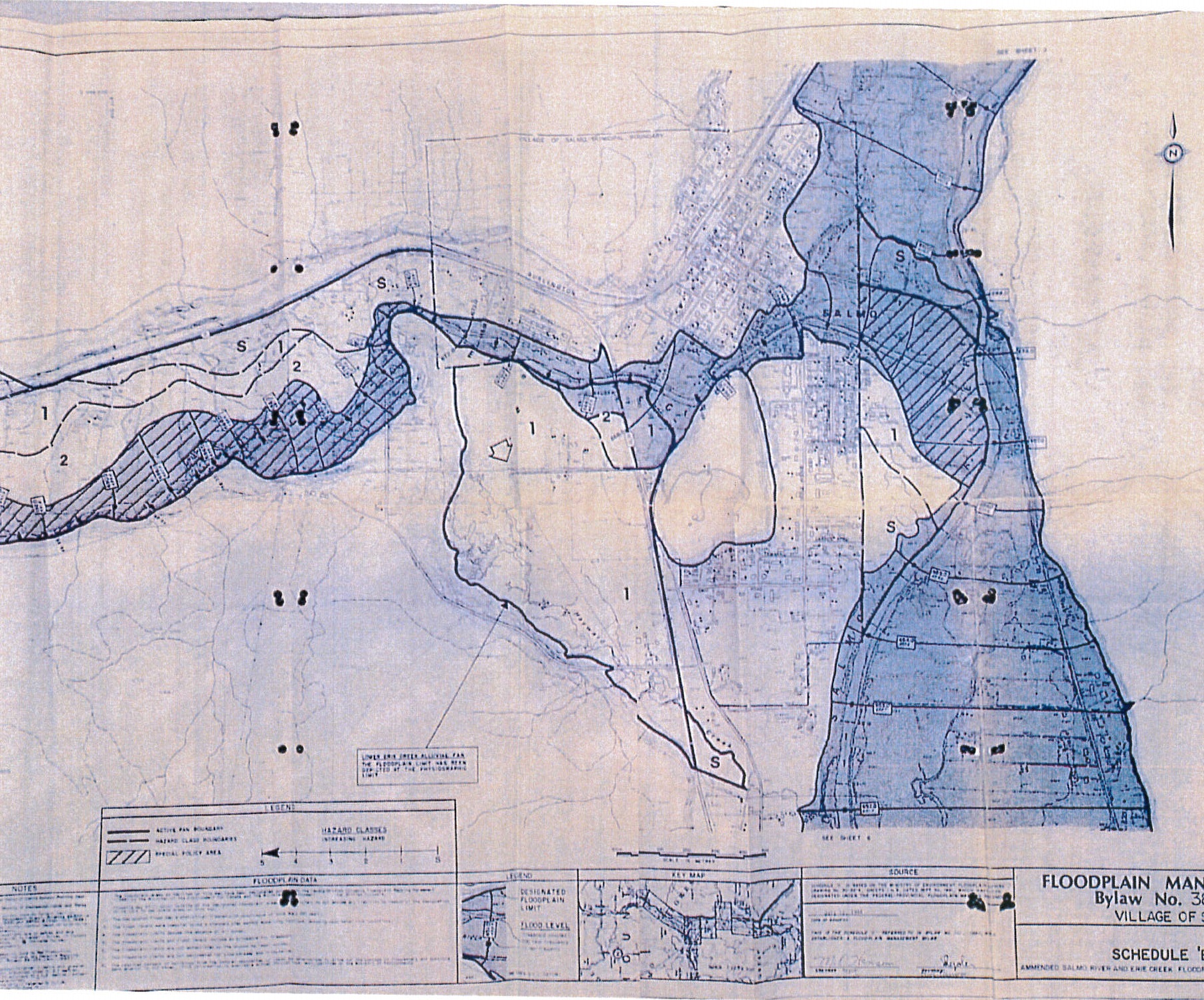
The Village of Salmo, B.C. has announced the receipt of a grant for $150,000 to cover 100 per cent of the costs of a flood mapping project through the Union of BC Municipalities Community Emergency Preparedness Fund.
The grant will be used to develop an institutional understanding of the flood hazard through the creation of an updated floodplain map and associated hydraulic model to improve flood mitigation and resilience plans.
The existing floodplain map for Salmo was made in 1992 under the Federal Disaster Reduction Program, and is the basis of the 1994 Floodplain bylaw No. 382 and 2004 update to the bylaw No. 594. According to best practice, floodplain maps should be reviewed and updated every 5 years as rivers and climates change, and as mapping tools improve.

The grant will enable the development of the following:
- A unified Digital Elevation Map of the Salmo River and Erie Creek as well as topography of areas within Village limits from previously acquired LiDAR.
- A 2-D hydraulic model of the river, floodplain (with and without existing flood infrastructure) and potentially of dike breaches(es).
- Flood model mapping that looks at our climate future.
These maps will provide the basis for future Salmo flood mitigation plans. A new map would also provide additional information beyond the current extent maps, such as the depths and velocities, which can better inform emergency response, structural upgrades to the existing flood protection system and inform future planning and mitigation projects.
Provincial and federal grant funds for dike construction are rare. When they do become available, they are only open to diking authorities (local governments like Salmo) who have updated mapping and plans to upgrade or expand the dike. The Village of Salmo’s long-term goal is to secure grant funding to bring Salmo’s existing dike up to today’s dike construction standards and expand the length of the dike for further flood protection.

