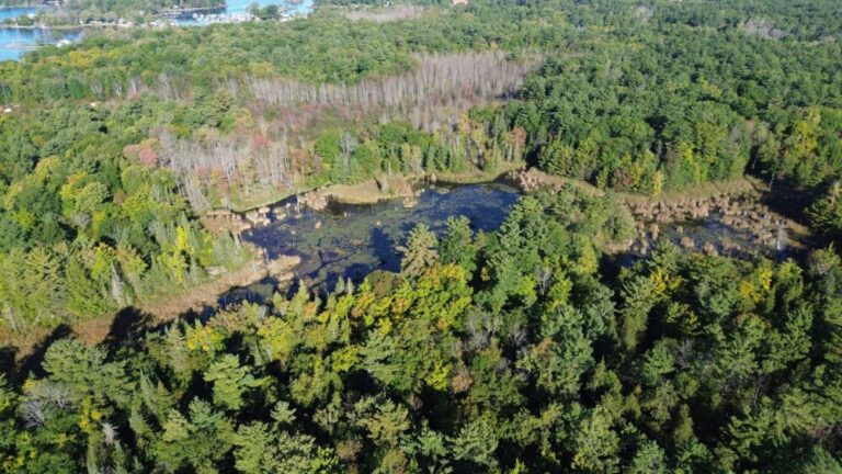
B.C. – The Lower Chemainus River is a floodplain, which means it is prone to periodic flooding. Flooding can impact properties, infrastructure, businesses, and the environment.
To prepare for the future, the Cowichan Valley Regional District, in partnership with Municipality of North Cowichan, Halalt First Nation, and Penelakut Tribe, has developed updated floodplain mapping for the Lower Chemainus Watershed. Mapping will help the communities better understand watershed processes and identify potential options to help manage future flooding.
Through summer 2022, the CVRD is engaging with local First Nations, government agencies, stakeholders, interest groups, and the community to share what we’ve learned so far, and hear ideas and values that could inform future mitigation planning. Learn more: https://www.planyourcowichan.ca/flood-mapping


