Newfoundland and Labrador has released a flood risk mapping study of the Waterford River and its major tributaries.
The new study was undertaken in November 2015 as an update to the previous 1988 study. The study mapped the river from its originating point in the eastern tip of the Town of Paradise through the City of Mount Pearl to where it discharges in St. John’s Harbour, as well as all major tributaries.
“This important new flood risk mapping initiative for the Waterford River will assist our government, residents, municipalities, and emergency management organizations in planning for and addressing emergency events,” said Andrew Parsons, Minister of Municipal Affairs and Environment. “We are very proud of the collaborative work that has gone into this initiative. This work supports our government’s ongoing efforts to mitigate the effects of climate change and ensure that communities develop in a safe and sustainable manner.”
The maps demonstrate the depth and velocity of flooding, identifying hazards for emergency responders, and includes a detailed hydraulic capacity assessment of bridges and culverts for climate change flood flows. The study results will be used to derive precipitation-based flood triggers that will inform the Hurricane Season Flood Alert System. The system tracks all weather systems 72 hours ahead and generates flood alerts from June to December.
“These new flood risk maps enable us to better understand risks that come during hurricane season and any time water levels change quickly in the river,” said Tom Osborne, provincial Minister of Finance and MHA for Warterford Valley. “This will allow a better understanding of the risks the river can pose and improve the quality and safety of life in the Waterford Valley.”
This project is aligned with the province’s Climate Change Adaptation initiative to update and undertake new climate change flood risk mapping studies and projections. Flood risk maps will enhance public safety, infrastructure design, water resources management, environmental assessments, municipal and land use planning, setting of structural design criteria, and flood response. The maps also incorporate the impact of climate change, including increased rainfall and rising sea levels.
The flood risk mapping study, maps, and GIS files are available at: https://www.mae.gov.nl.ca/waterres/flooding/frm.html
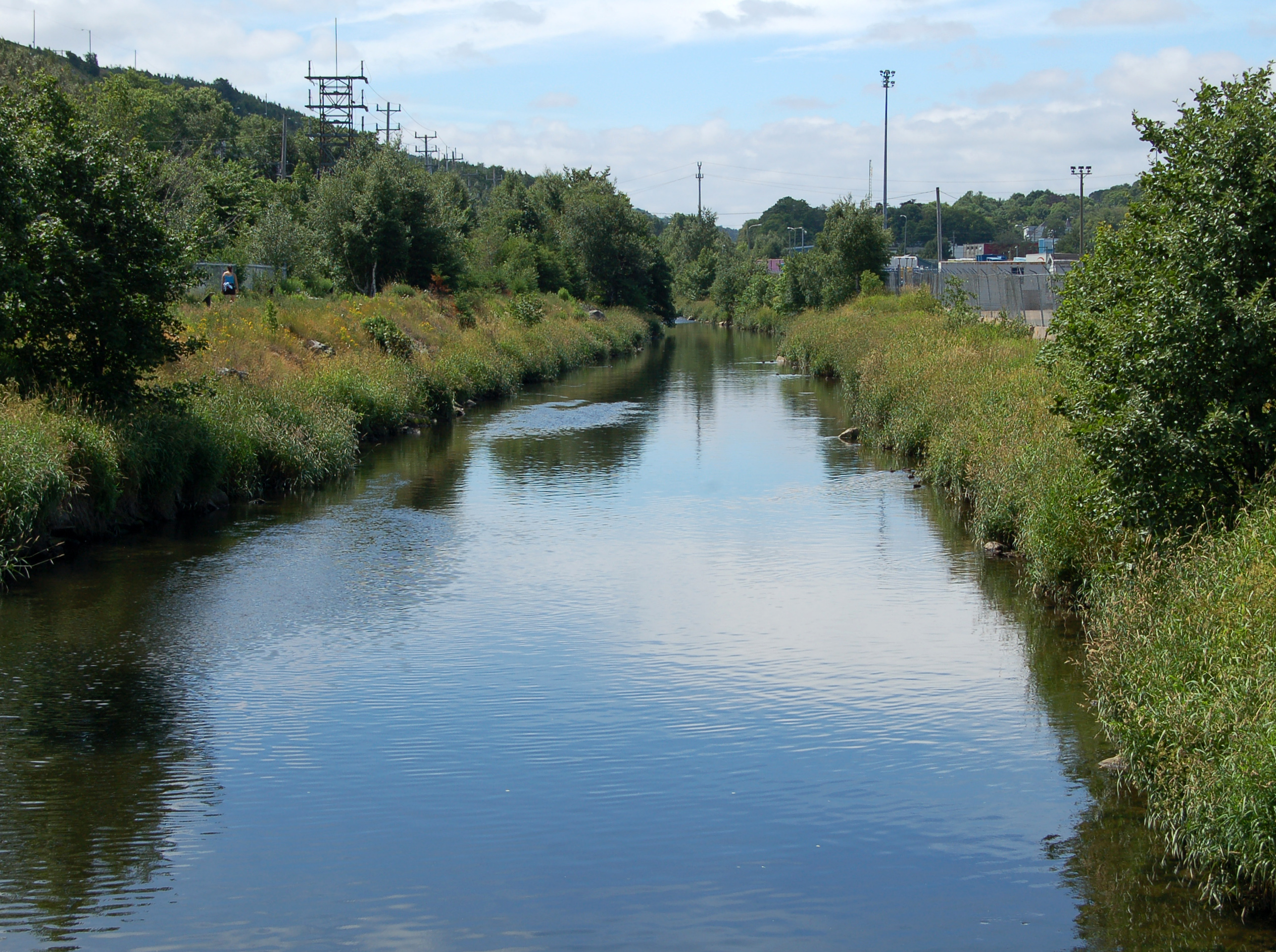
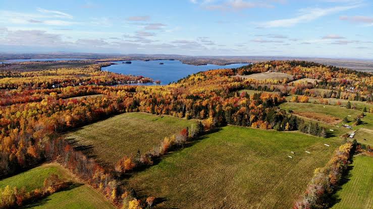
Cover image shows the Waterford River in St. John’s, Newfoundland, near to St. John’s harbour. Image Credit: Nilfanion


