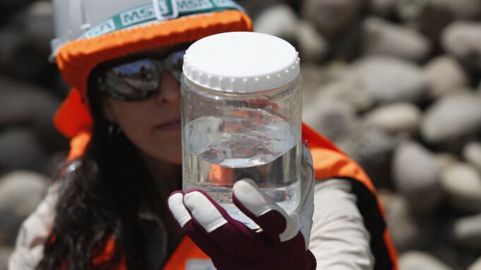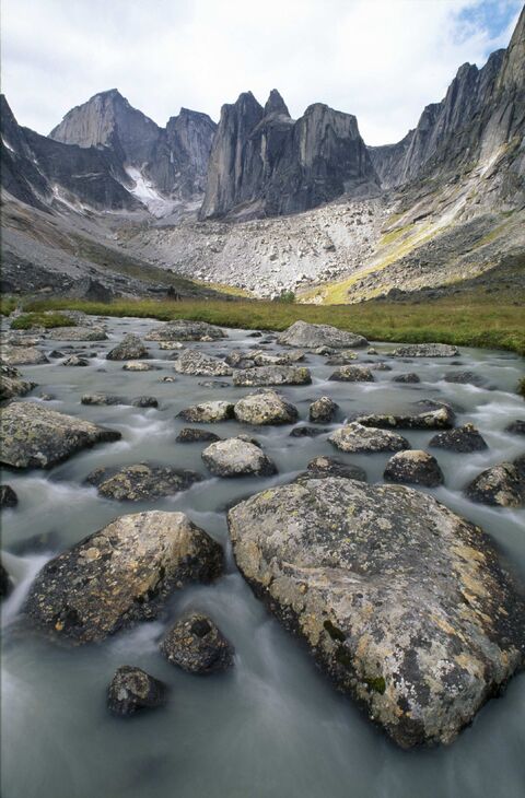
Canadians across the country are already facing the consequences of climate change, which is causing more frequent and severe weather. Climate-related natural disasters, including flooding, pose a serious threat to the safety of Canadian communities and our economic stability, underscoring our need to adapt.
On September 21, the Honourable Steven Guilbeault, Minister of Environment and Climate Change, announced a $5.5 million new call for proposals to fund projects in flood mapping science, hydrologic prediction, and climate adaptation. This follows more than $3 million in funding already awarded to universities and non-profit organizations under the Flood Hazard Identification and Mapping Program.
Environment and Climate Change Canada is now accepting applications, which will be distributed under four streams: Priority Climate Data, Services, and Assessments; the Flood Hazard Identification and Mapping Program; Hydrologic Prediction; and Innovation in Hydrometry. Eligible applicants include non-governmental environmental organizations, Indigenous organizations, academic institutions, provincial and territorial governments, and community groups. Interested parties are invited to submit their project applications at the call for proposals website up until October 31, 2023.
Projects funded under this call for proposals will advance flood and climate research that will help Canadians protect their families and properties from the devastating impacts of flooding. The funded projects will align with the National Adaptation Strategy’s framework to reduce the risk of climate-related disasters, improve health outcomes, protect nature and biodiversity, build and maintain resilient infrastructure, and support a strong economy and workers.
“As we have felt this past summer, climate change is affecting us all in Canada. The devastating impacts of flooding are a clear sign that we need to invest in flood science and mapping as part of Canada’s National Adaptation Strategy. This funding will leverage the expertise of Canadian universities and researchers to collaborate with our own scientists to build stronger flood maps and account for the certain effects of climate change.” – The Honourable Steven Guilbeault, Minister of Environment and Climate Change
Quick facts
- In June 2023, under the National Adaptation Strategy, the Government of Canada announced $70.3 million in funding to share new climate information and further advance Environment and Climate Change Canada’s ability to predict extreme climate events and produce climate change science assessments.
- The Flood Hazard Identification and Mapping Program was also renewed under the National Adaptation Strategy for $164 million, including $19.4 million to Environment and Climate Change Canada, leading to the call for proposals.
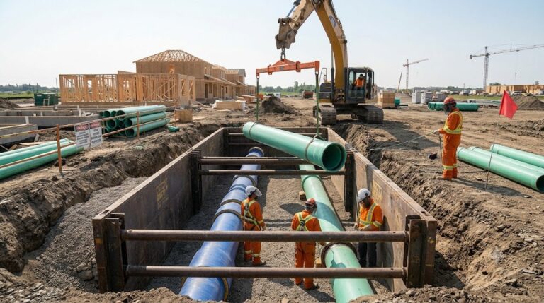
- The Flood Hazard Identification and Mapping Program completes flood hazard maps for high-risk areas and establishes best practices for flood mapping across Canada, which helps Canadians better plan and prepare for future floods. The Program relies on high-quality data and science, including climate change knowledge.
- With the projects currently underway, Environment and Climate Change Canada is engaging academia in further developing flood science and integrating the impacts of climate change and uncertainty in flood maps. The primary purposes of flood mapping are land-use planning, emergency management, and environmental and resource management.
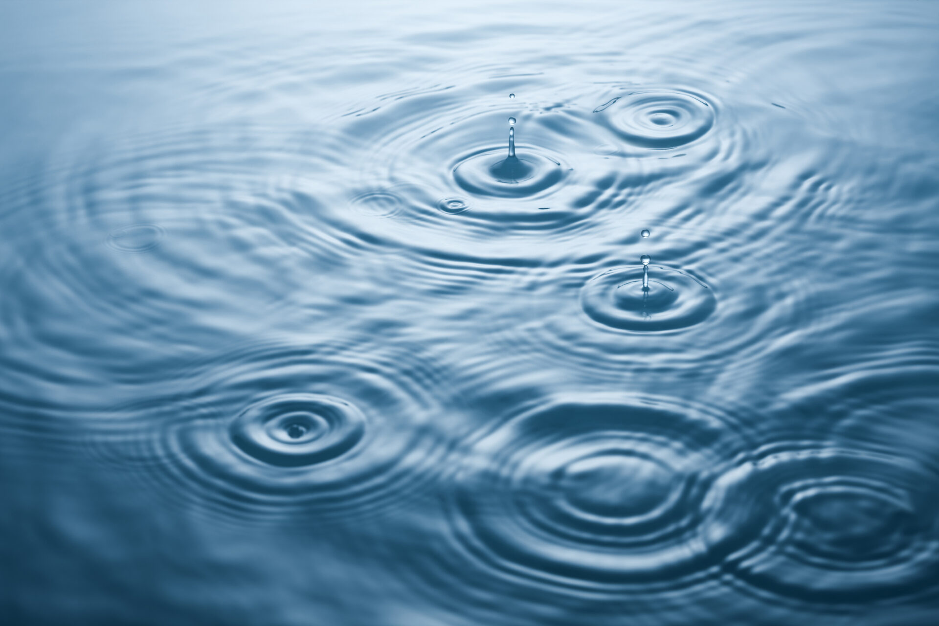
- Environment and Climate Change Canada is responsible for monitoring and understanding Canada’s water levels and flows in collaboration with provinces and territories, and for making water quantity data and information available to Canadians.