
Using Satellite Data to Provide Early Flood Warning & Reservoir Management
A new study led by researchers at NASA’s Jet Propulsion Laboratory (JPL) has analyzed what it would take for river-observing satellites to provide improved mitigation…
A new study led by researchers at NASA’s Jet Propulsion Laboratory (JPL) has analyzed what it would take for river-observing satellites to provide improved mitigation…
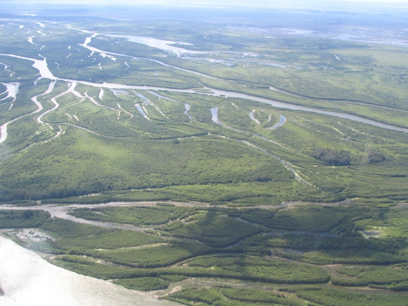
Saskatchewan’s wetlands and North Saskatchewan River have been chosen as a testing ground for new NASA technologies designed to map water in northern environments and…
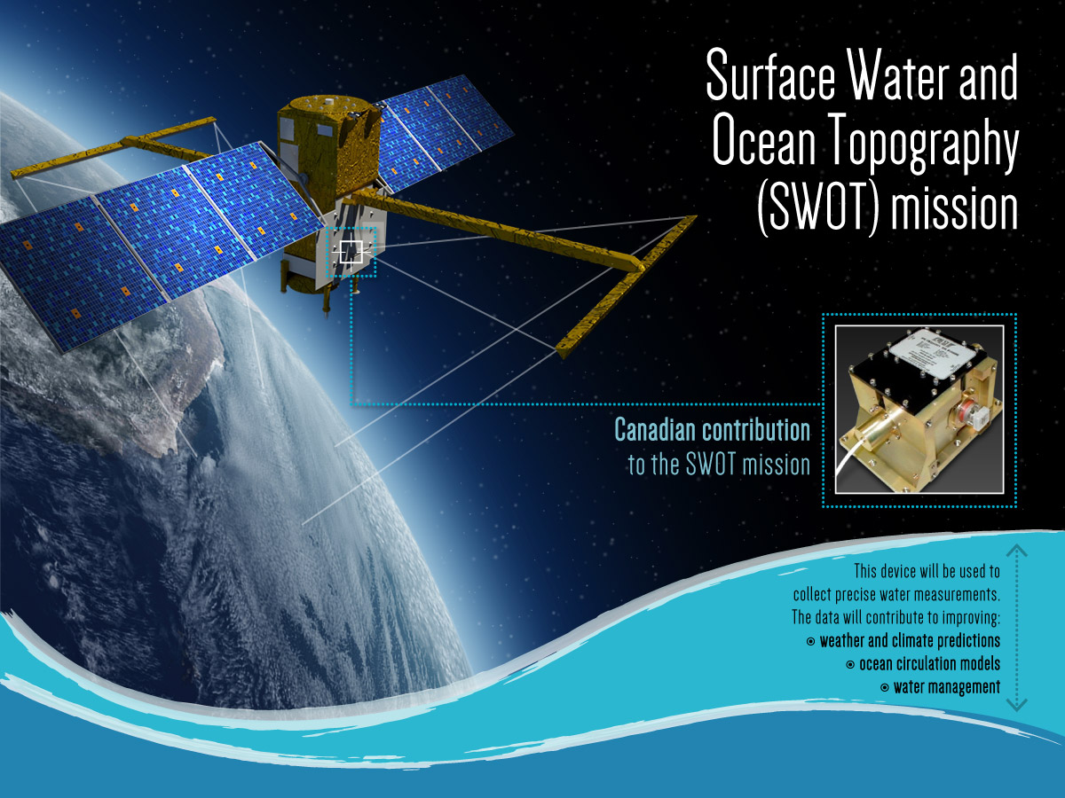
The Canadian Space Agency awarded a $3.8M contract to Communications & Power Industries Canada (CPI) to build components for the Surface Water and Ocean Topography (SWOT)…