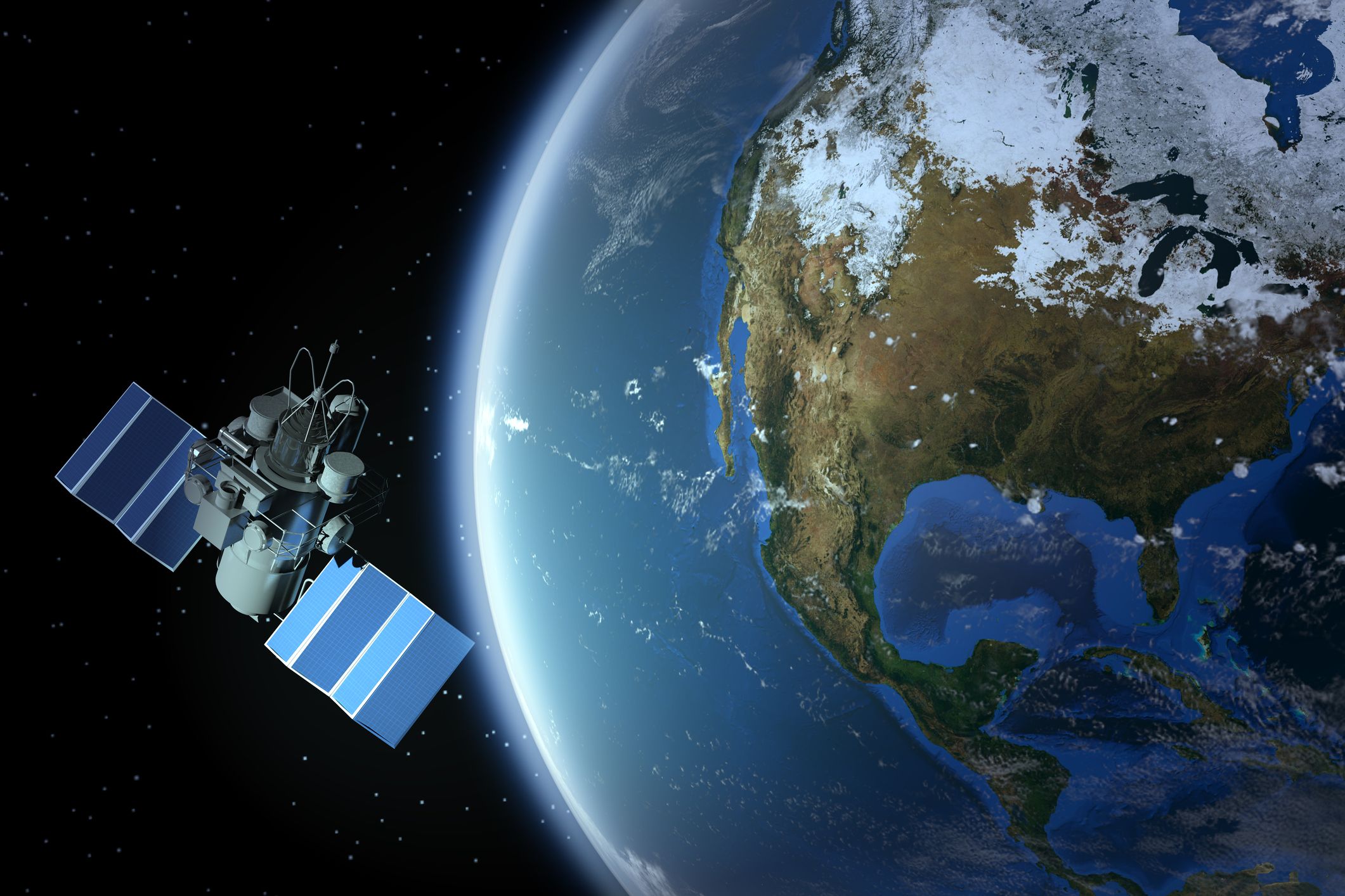
A new study led by researchers at NASA’s Jet Propulsion Laboratory (JPL) has analyzed what it would take for river-observing satellites to provide improved mitigation of flood damage and reservoir management globally, in near real-time.
The study, Global estimates of river flow wave travel times and implications for low‐latency satellite data, provides an overview of managing satellite data on the propagation of floods through river systems in such a way as to transmit useful information to end users in a timely fashion.
“Early flood warning systems traditionally depend on gauge networks that detect floods farther up the river, but gauge data are becoming more and more scarce,” said George Allen, lead author of the new research and a hydrologist at JPL. “Our study shows that there’s room for satellites to help fill in the gap. But for satellites to inform real-time flood mitigation, they have to provide data to water managers within a sufficiently short lag time.”
To study the speed at which floods propagate through the planet’s rivers, Allen and his colleagues ran a simple numerical model of flow waves that used information such as the width, slope, depth, and roughness of rivers worldwide. After analyzing wave speeds through 17.7 million kilometers of rivers, the researchers found that flood waves traveling at their maximum speed take a median time of three days to reach the next downstream dam, four days to arrive to the next downstream city, and six days to exit the river system entirely.
The team compared their model’s results with discharge records from more than 20,000 U.S. Geological Survey gauge stations along around 64,400 kilometers of varied river systems in the United States. They found that the model estimated faster wave speeds than the gauge data showed.
“That was expected, based on the fact that we’re modeling waves moving at maximum speeds, whereas the gauge data are looking at all types of wave speeds: low speeds, high speeds, everything in between,” Allen said. “In this way, our study estimates a worst-case-scenario of how fast floods can move down rivers.”
The scientists then used their wave speed findings to calculate data latency— how quickly satellite data should be downloaded, processed, and made available in order to be useful for flood early warning systems and other real-time flood mitigation strategies, as well as reservoir management. In particular, they focused on future data from NASA’s upcoming Surface Water and Ocean Topography (SWOT) mission.
Allen’s team determined that if the data were to be processed in two days or less, it would be ready for emergency managers before at least two-thirds of observed waves reached the next downstream city. For dams, the quick turnaround of satellite measurements would give advance notice to downstream reservoirs in at least half of the cases when SWOT detects a flood wave.
“There is a trade-off between data latency and data quality,” said Cédric David of JPL, who directed the new study and is a member of SWOT’s science team. “So, do we want to wait to get the best data possible, or do we want to get a rough version of what’s going on now, so we can provide actionable information?”
This data would be particularly useful for developing nations, where either there are insufficient river gauges or countries do not share gauge data with their downstream neighbors, Allen said.