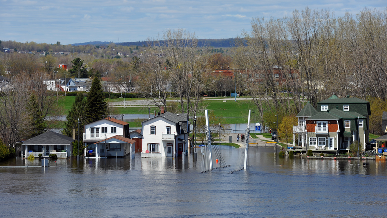
Ontario Releases its Flooding Strategy
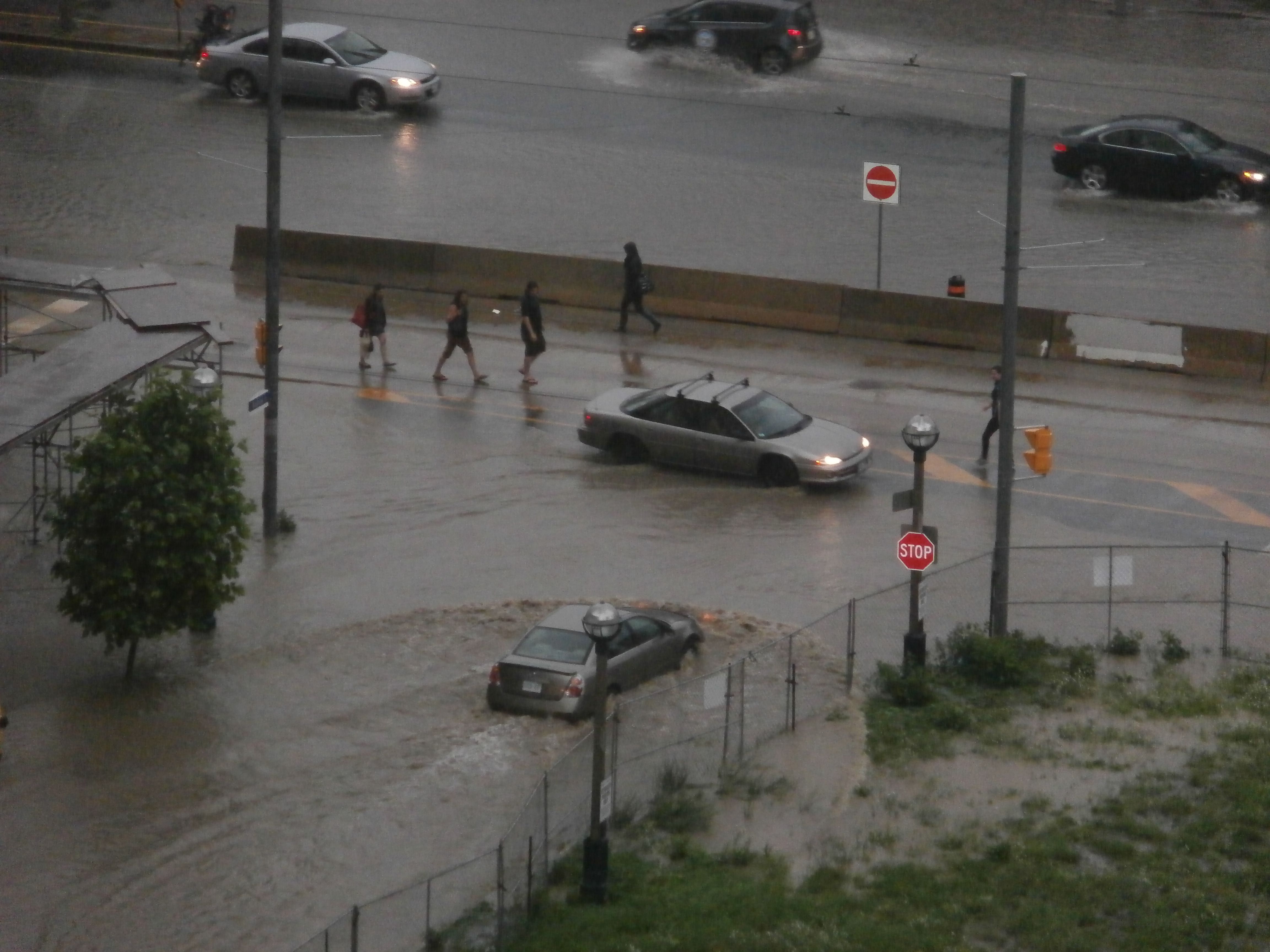
The Government of Ontario has released its new flood strategy, which looks to reduce the risk and increase preparedness of flood events. “We know that…
The Government of Ontario has released its new flood strategy, which looks to reduce the risk and increase preparedness of flood events. “We know that…
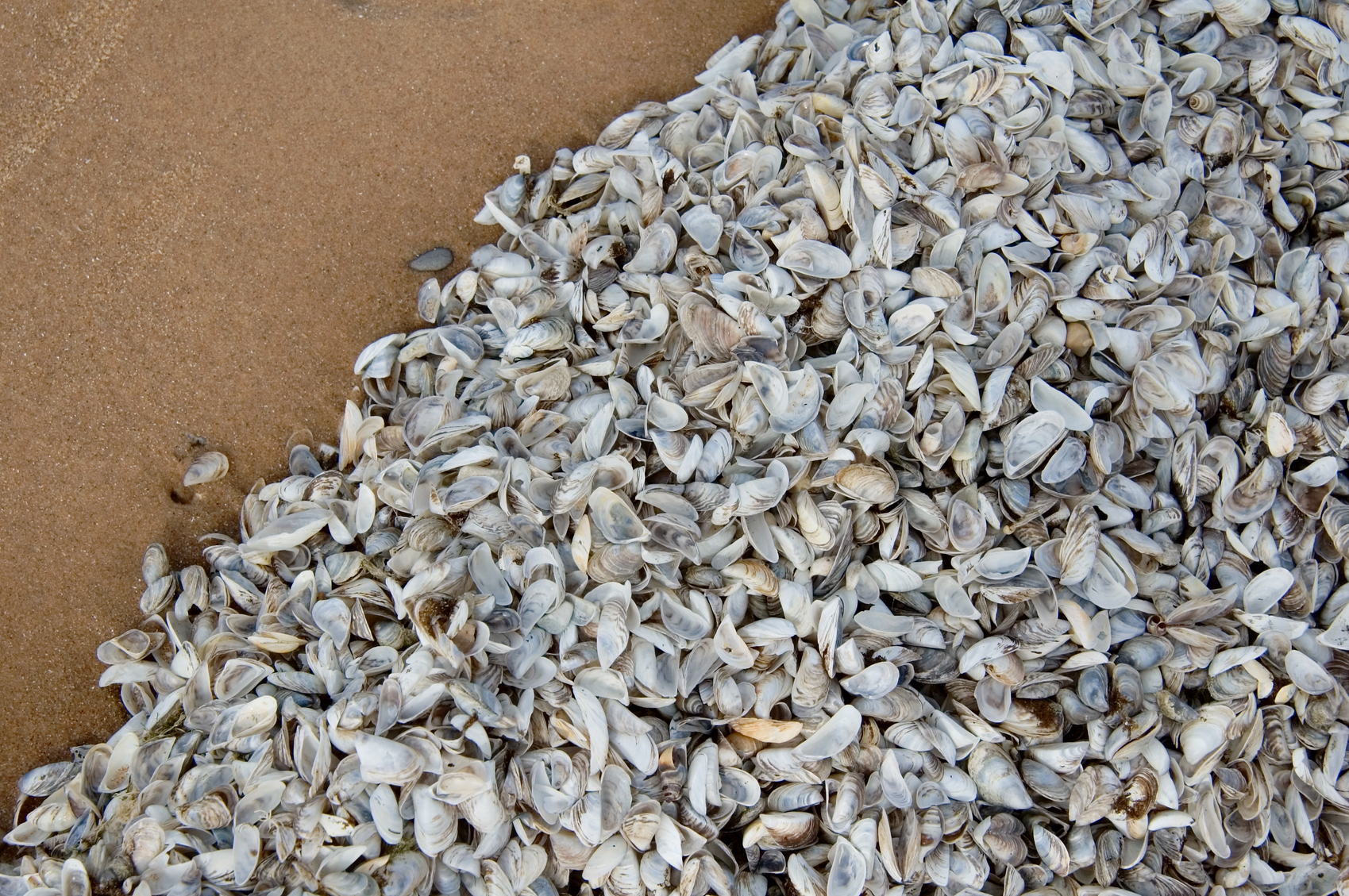
The Government of Canada has updated its digital mapping for tracking aquatic invasive species across the country. Fisheries and Oceans Canada has updated and improved…
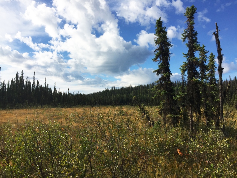
More than $2 million is available to watershed conservation projects in the Peace River Basin through the Fish & Wildlife Compensation Program (FWCP) – a…
Saint John, New Brunswick formally launched its Open Data portal in conjunction with International Open Data Day this past Saturday, March 3rd, including data on…
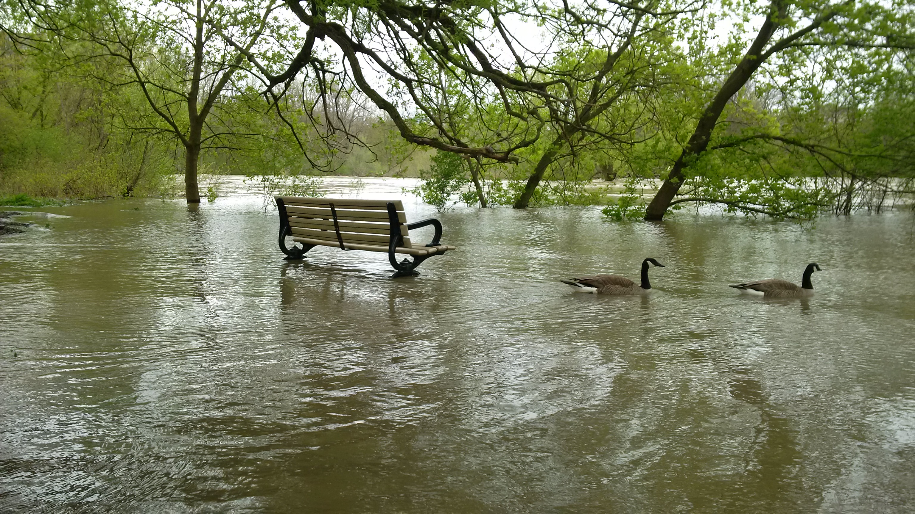
Insurance Bureau of Canada (IBC) has reported that spring 2017 storm and flooding events in Eastern Ontario and Western Quebec resulted in more than $223 million in insured damage, according to Catastrophe Indices…
When Water Canada published a story on the top seven water stories for 2016, the authors highlighted the federal government’s commitment to new funds for…
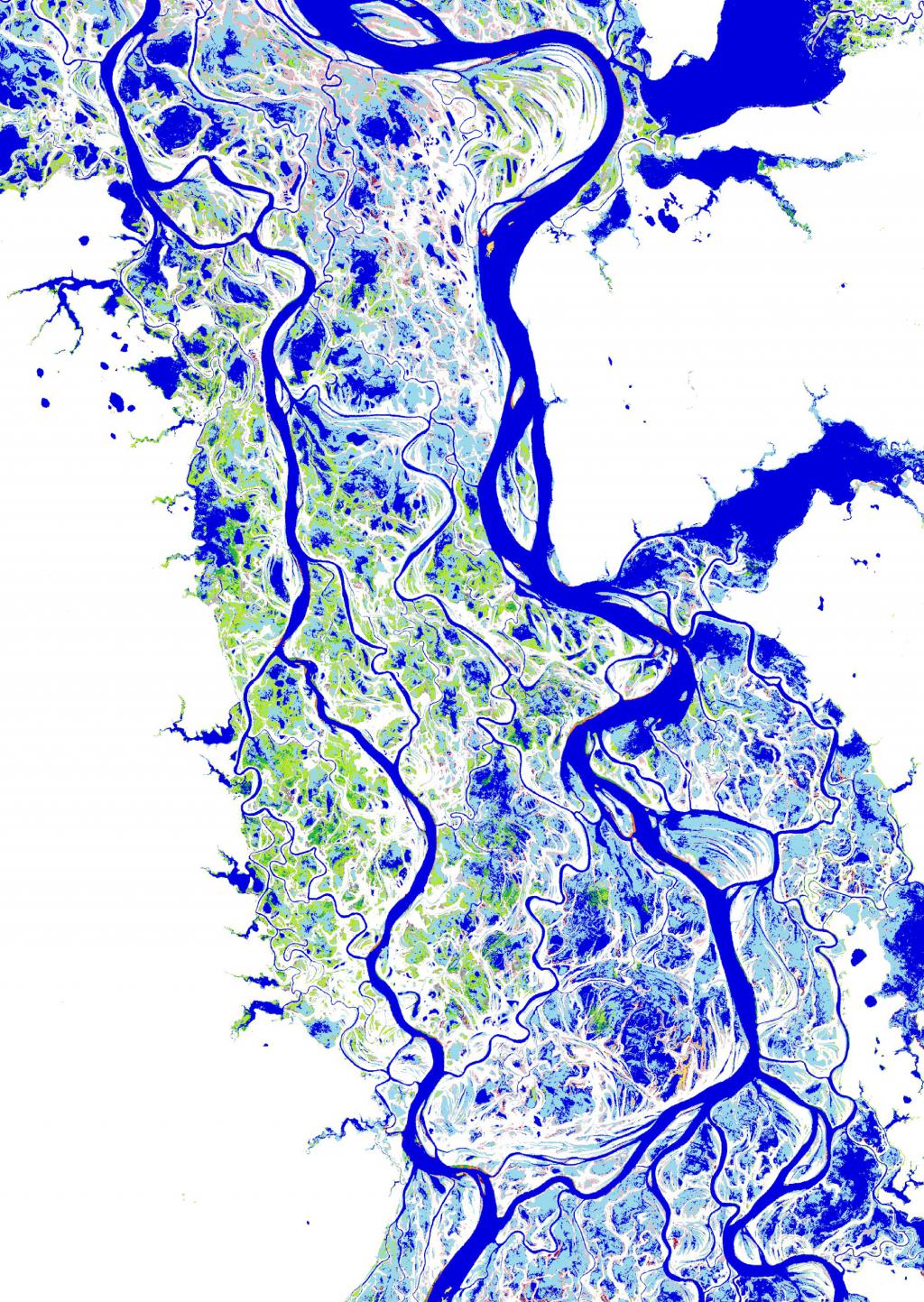
The European Commission’s Joint Research Centre (JRC) has published a study of global surface water and its long-term changes in the science journal Nature. Using…

New Brunswick’s government is developing operational guidelines as part of its wetland conservation policy to achieve effective and consistent wetlands protection. Environment Minister Margaret-Ann Blaney…
The feds are making an investment in water quality research at the Universities of Lethbridge and Saskatchewan.Today’s investment totals $3.75 million and will go towards…