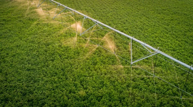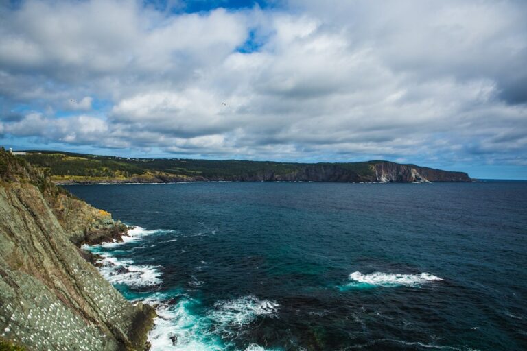
Stormwater runoff and climate change continue to put a strain on the watersheds of the Toronto region, according to the Toronto Region Conservation Authority (TRCA).
These are the findings of the 2018 Toronto and Region Watershed Report Cards that are being released today, on World Water Day, by TRCA. “The report cards are a great tool to help summarize and communicate the data that we collect about the health of the watersheds,” said Angela Wallace, project manager, TRCA. “Releasing the Watershed Report Cards on World Water Day is a perfect tie-in to global water issues. Without continued efforts to improve watershed conditions here and around the world, human health as well as various species, will be at risk.”
The aim of the Watershed Report Cards is to determine the current condition of watersheds and then tailor programs to help protect and improve their condition. The report cards examine four indicators: groundwater quality, surface water quality, forest conditions, and land cover. TRCA completed 11 report cards: Etobicoke Creek, Mimico Creek, Humber River, Don River, Highland Creek, Rouge River, Petticoat Creek, Duffins Creek, Carruthers Creek, one report card inclusive of all nine Toronto Region watersheds and the Lake Ontario waterfront.
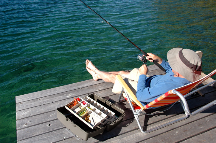
The report cards function as a handy and accessible tool to engage residents and stakeholders across the Toronto region and Ontario. “They’re designed to bring attention to water issues to municipalities (mayors, councillors, regional chairs) as well as to provide information to watershed residents in an easy to read format,” Wallace told Water Canada. “We provide information on what we (TRCA, Conservation Authorities) are doing to improve watershed health as well as ways for residents to take local actions.”
They are also a useful tool to distill the extensive work done by Conservation Authorities to monitor water quality. “For example, TRCA collects water quality samples at over 35 sites on a monthly basis. The report cards report on 5 years of data which means over 2000 data points,” said Wallace. “The summarized format makes the large amounts of information accessible.”
The results of the report cards show that the observed indicators have not changed much over the last five years. This is good news, said the TRCA, given the level of growth in the region. The average health of Toronto region surface water has held a D grade over the last five years; conditions are not improving. In some cases, unreported conditions in the report cards are worsening. One such issue is chloride from road salt, concentrations of which increasing in streams despite some municipalities taking strides to reduce the amount of road salt used for de-icing in winter. TRCA found that about 60 per cent of water samples had higher than recommended concentrations of chloride.
As to why chloride is not used as an indicator in the report cards: “The indicators used in the Conservation Ontario Watershed Report Cards were designed for use by all Conservation Authorities across Ontario, of which many do not have a chloride issue—yet!” said Wallace. “Most GTA Conservation Authorities have chosen to highlight chloride as an issue because we are seeing a relatively rapid increase in chloride levels in our streams and it is already impacting aquatic life in some areas.”
Individual reports are available for each of the region’s watersheds, as well as a general report card for the whole region on the website https://reportcard.trca.ca/.