Model Decisions: Cost-Based & Value-Based Stormwater Infrastructure
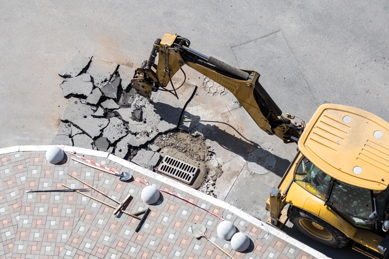
Stormwater drainage systems are our first line of defence against pluvial flooding. In recent years, many Canadian studies have pointed to the abysmal state of…
Stormwater drainage systems are our first line of defence against pluvial flooding. In recent years, many Canadian studies have pointed to the abysmal state of…
Saint John, New Brunswick formally launched its Open Data portal in conjunction with International Open Data Day this past Saturday, March 3rd, including data on…
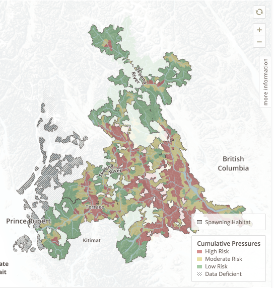
The Skeena River–British Columbia’s second largest river–remains largely undeveloped and has diverse wild salmon populations, but for decades there has been conflict over how to…
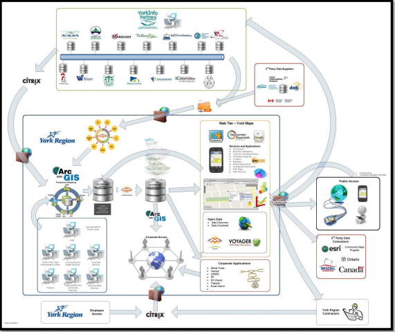
The Regional Municipality of York’s Enterprise Geographic Information System (GIS) program has won the 2015 Urban and Regional Information Systems Association (URISA) Exemplary System in…
A new application that allows public access to a variety of water resources data, including information on the quality of drinking water, was launched last…