The International Lake Champlain-Richelieu River Study Board (Study Board) has published a new technical report, Development of a Binational Flood Forecasting and Real-time Flood Plain Mapping System for Operational Implementation as part of its multi-year study into finding solutions to flooding in the Lake Champlain-Richelieu River (LCRR) basin.
In 2016, the Study Board was tasked by the Governments of the United States and Canada to investigate the causes, impacts, risks and potential solutions to flooding in the LCRR basin. The governments also requested that the Study Board make recommendations to support binational flood forecasting for the watershed. This new report describes the recommended flood forecasting system for the watershed based on existing forecasting services as well as new tools and models developed through the study.
Improved forecasting
As part of the study, experts undertook an assessment of the current flood forecasting systems and consulted flood forecasters and emergency responders in the basin to determine their needs to better prepare for floods. The assessment found a need for short-term flood maps that include probabilities of flooding to occur in areas, as well as long-term water level and flow projections that can contribute to better flood prediction.
A key way of reducing the impacts of flooding in the basin is by improving flood preparedness. Enhanced flood forecasting in the basin will aid local planners and emergency responders to prepare communities in the days and hours before floods occur.
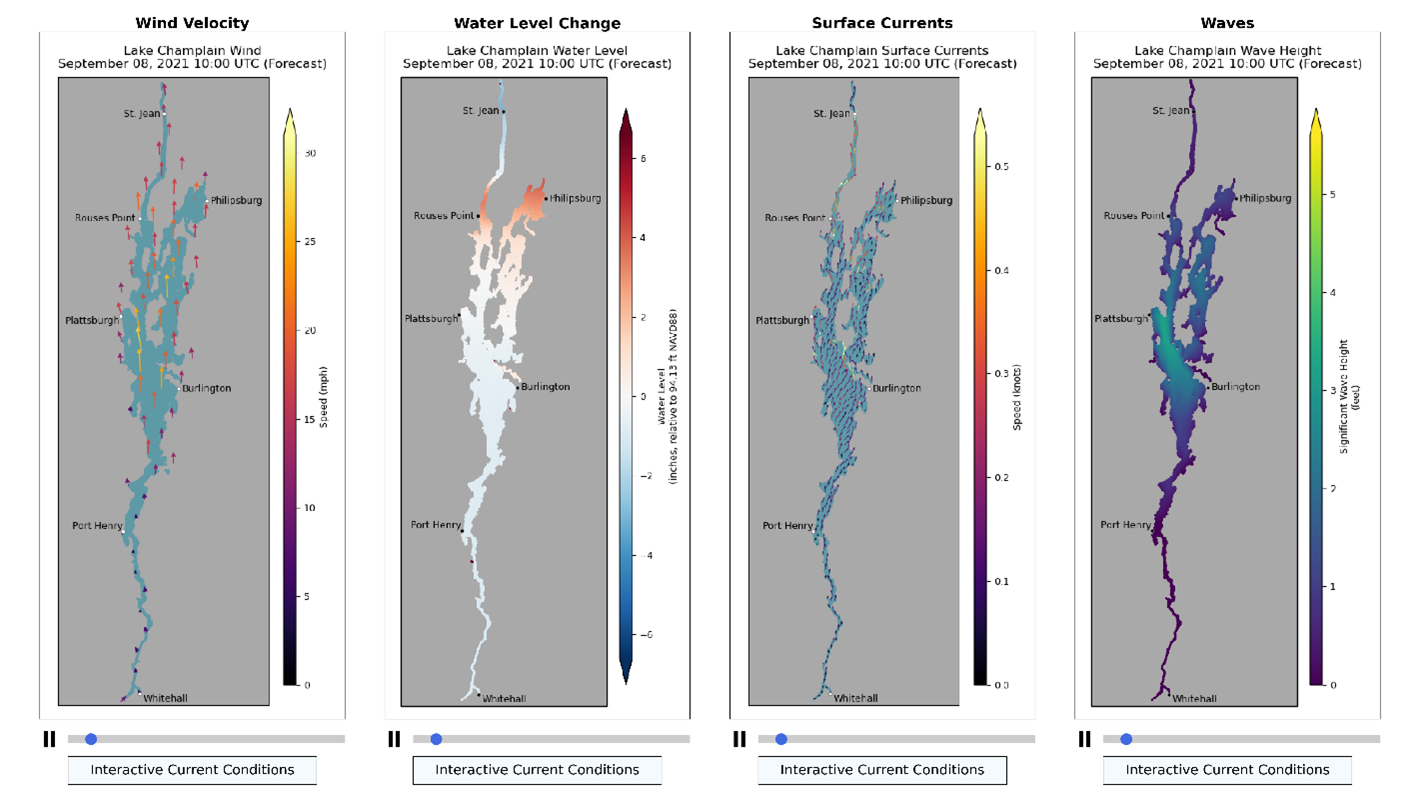
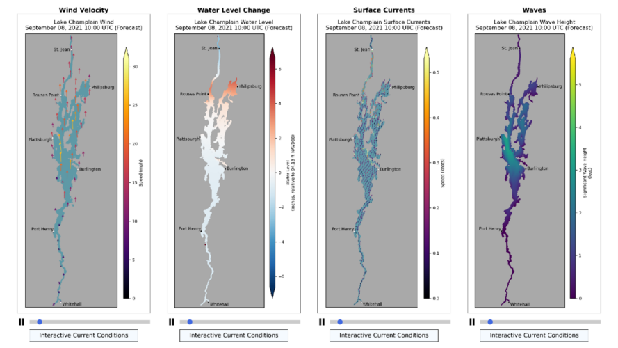
Improved hydrological models were created as part of the study and will be integrated into the existing forecasting systems over the coming years. The models simulate processes such as snow accumulation, snow melt, inflows from tributaries to Lake Champlain and outflows through the Richelieu River, as well as wind and wave conditions. All of this information is used to improve the accuracy of forecasting water levels in the basin.
Wave and wind modelling
Another study finding was that the damages caused by the major 2011 flood were exacerbated by storm surges and wave events on Lake Champlain. As part of the study, the National Oceanic and Atmospheric Administration (NOAA) integrated new modelling of wind and waves on the lake into their forecasting system. Although not yet fully operational, the new flood forecasting system for Lake Champlain is available on an experimental basis through NOAA’s Great Lakes Environmental Research Laboratory (GLERL).
Two systems, good coordination
Operational flood forecasting is conducted by officially designated agencies in both the U.S. and Canada using a variety of data sources, including observations of current conditions and a wide range of specialized environmental forecast models. These agencies share data to enhance the accuracy of forecasting systems across the binational LCRR basin. Continued cooperation between agencies is supported by the Study Board’s findings.
To learn more about how this process was used to develop the study board’s overall flood mitigation recommendations, you can read the report itself at this link, a fact sheet that describes the strategy or view a recently recorded webinar here.