The federal government will fund a floodplain mapping project in Ontario, announced Maryam Monsef, Minister of Status of Women and Member of Parliament for Peterborough—Kawartha, this morning.
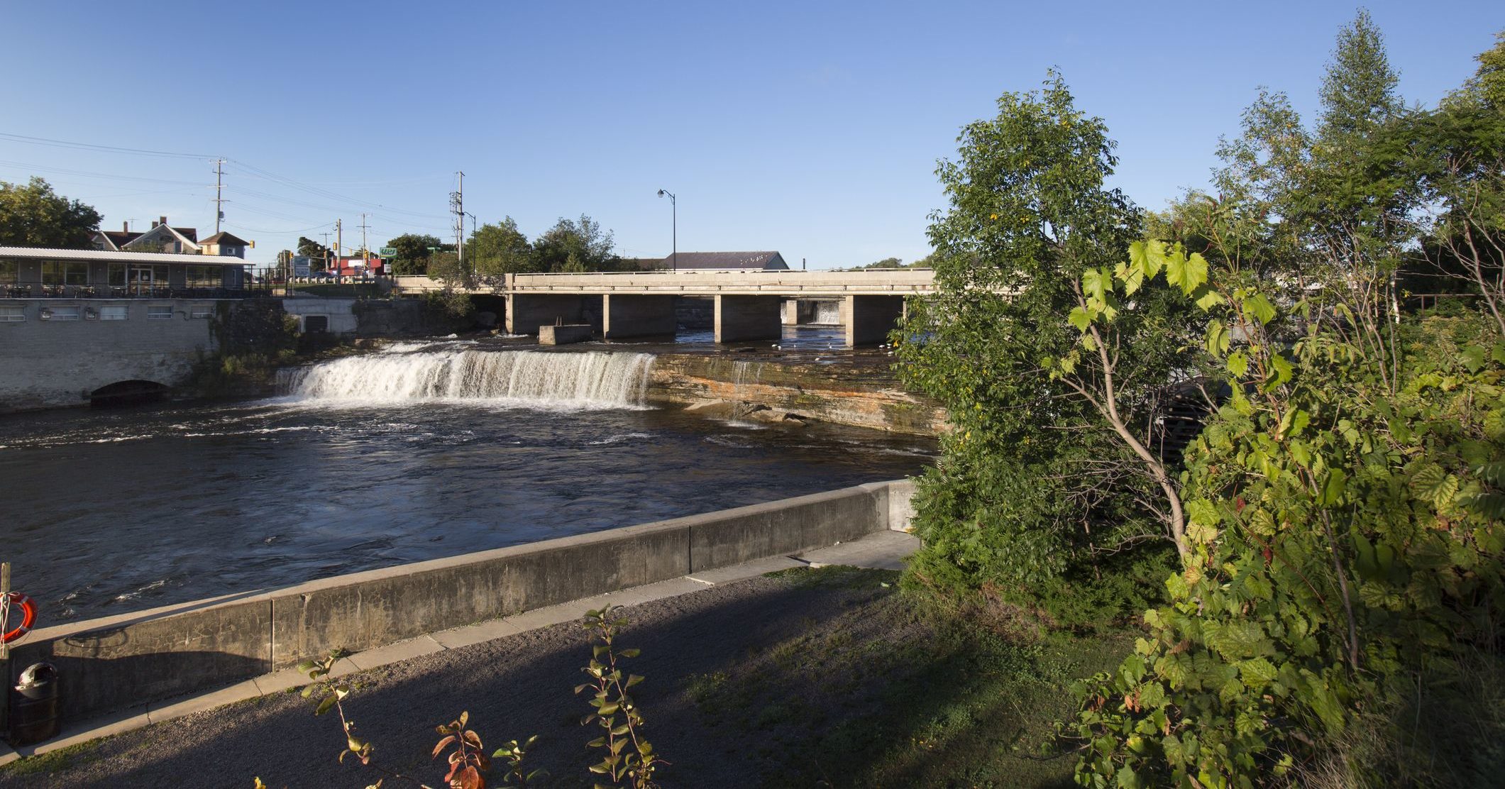
Over 18 months, $46,000 will be given to the province of Ontario under the National Disaster Mitigation Program (NDMP) to support updated floodplain mapping of the Mariposa Brook—last mapped nearly thirty years ago—by the Kawartha Region Conservation Authority (KRCA).
“I welcome this funding as it will equip the City of Kawartha Lakes with the updated tools needed to help prevent and mitigate flooding in the area as well as assist the community’s efforts in managing emergencies,” said Minister Monsef. “Water connects our communities, and ensuring smart management of this resource will see benefits across the region.”
The data from the updated floodplain mapping will help protect people and their property from flooding, as well as provide the City of Kawartha Lakes and Kawartha Conservation with better emergency management and planning information to help guide land-use decisions in the area.
“Ontario commends the Kawartha Region Conservation Authority for its leadership in taking important steps to reduce flood risk. Our government will continue to help municipalities and others access federal funding for flood mitigation projects through the [NDMP],” said Bill Mauro, Ontario Minister of Municipal Affairs. “In this changing climate, we all have a role to play in planning for disasters in our communities, so that our most valuable assets are protected.”
The Government of Canada cost-shares up to 50 per cent of eligible expenses for provincial projects and 75 per cent of eligible expenses for territorial projects. Through the Ontario Government, the Kawartha Region Conservation Authority is contributing $46,000 for the Mariposa Brook Flood Area Study.
“This project will serve as an important update to the existing floodplain mapping for the area,” said Mark Majchrowski, Chief Administrative Officer, Kawartha Conservation. “Ultimately with newer technology and processes we will be able to refine the Mariposa Brook floodplain mapping which will provide added surety in protecting people and their property from flooding events, and will also be used in our planning and permitting activity.”
The Government of Canada is committed to working with provincial and territorial partners on a disaster mitigation approach that will allow us to better identify, plan for and reduce the impact of weather-related emergencies and natural disasters on Canadians.