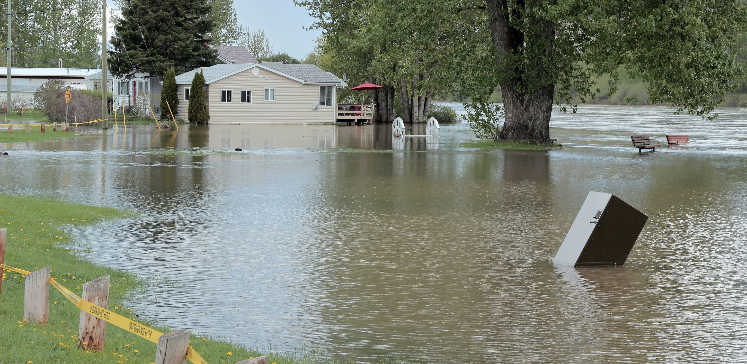
The Columbia Basin Trust brought partners together to secure a $2-million project that will collect LiDAR and orthophoto imagery of major water bodies near populated areas across a majority of the southern part of the Columbia Basin.
The state-of-the-art data that will help several Columbia Basin communities work toward reducing the risks and impacts associated with flooding.
“The data obtained through this project gives many Columbia Basin communities foundational information they need to understand and adapt to increasing flood risks in our changing climate,” said Tim Hicks, senior manager, delivery of benefits at Columbia Basin Trust. “This creative collaboration between multiple organizations, industry, and all levels of government will make useful information available that would otherwise be costly for individual communities to acquire.”
LiDAR stands for “light detection and ranging.” Like sonar and radar, it detects objects by using lasers to send out almost a million pulses of light per second. It then tracks how long it takes each pulse to return. This allows users to map areas in three dimensions.
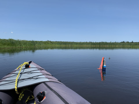
In the Columbia Basin, these maps will be compared to past photos taken from airplanes and satellites to see how landscapes have changed over time. They’ll be used to identify previous flood areas, pinpoint which areas are currently prone to flooding, and determine where new flood-prone areas are likely to emerge. Communities will be able to access this data for free, enabling them to prepare for floods and minimize their effects.
With climate change, “we know we’re going to see more frequent and higher-amplitude flooding events in the Basin,” said Tom Dool, research analyst at the Regional District of Central Kootenay, which is one of the project partners. “LiDAR allows communities to see exactly which locations are at greatest risk of flooding and what’s needed to respond effectively.”
Dool was instrumental in getting this project off the ground, alongside the Trust’s Climate Action Program, which helps Basin communities reduce greenhouse gas emissions and adapt to climate change impacts. Other partners include the provincial government ($997,991) through Emergency Management BC.. and GeoBC, Public Safety Canada ($790,000), the Regional District of Central Kootenay, ʔaq̓am, Teck ($150,000), and ATCO Wood Products ($352,716).
“This data collection project has built an essential climate change and flood resilience tool for local governments, First Nation communities, and other organizations in our region,” said Meredith Hamstead, program coordinator of the Climate Action Program. “The data can also support many other co-benefits beyond flood resilience, for example, management and enhancement of wetland and riparian areas on those same water bodies that may pose flood hazards.”
“The acquisition of this LiDAR data will immediately support the ʔaq̓am community’s Climate Adaptation Project, which includes a Wildfire and Floodplain Mitigation Study and associated mapping,” said Michelle Shortridge, director of operations and community services for ʔaq̓am. “We are also excited to work with the data and regional professionals to understand the many applications of LiDAR for land and resource management.”
Those wishing to access the LiDAR data can contact [email protected] with the subject line “Lidar Data Request – Columbia Basin.” The province is currently working on making the data open sourced and a Data Use Agreement will be required in the interim.