In Canada, overland flooding costs the Canadian economy more than any other kind of natural hazard. It is the single largest draw on the Disaster Financial Assistance Arrangements (DFAA).
In an effort to improve Canada’s resiliency to flooding, the federal government has released the first of a series of guidelines for provinces and communities as a resource for floodplain mapping projects and activities undertaken across Canada.
Floodplain mapping identifies the boundaries of a potential flood event under different scenarios. Understanding and strengthening floodplain mapping is critical to support informed decisions and investments to reduce the impacts of flooding in communities across Canada.
The new guidelines are aimed at providing advice to provinces and territories on how they may assist groups who are engaged in managing flood risks in communities across Canada. These end-users may include emergency management practitioners, flood risk managers, land-use and water resources planners, town planners, hydrologists, hydraulic engineers, geoscientists, geologists, infrastructure providers, water managers, and policy and decision-makers, both within and outside of government.
The Federal Floodplain Mapping Framework and guidelines were developed in consultation with provincial and territorial partners and key stakeholders under the leadership of the Flood Mapping Committee, a partnership between Public Safety Canada, Natural Resources Canada, Environment and Climate Change Canada, National Research Council of Canada, Defence Research and Development Canada, and Indigenous and Northern Affairs Canada.
This effort is part of the broader National Disaster Mitigation Program (NDMP) as part of the Government’s commitment to build safer and more resilient communities.
The Federal Floodplain Mapping Framework and guidelines are available online.

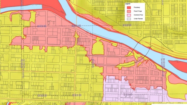
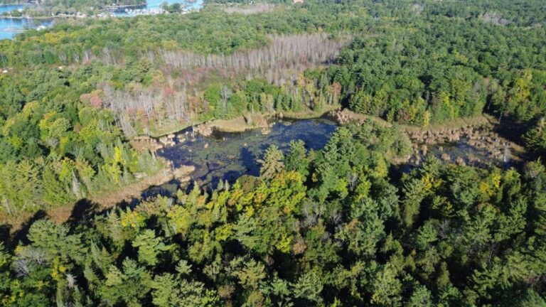

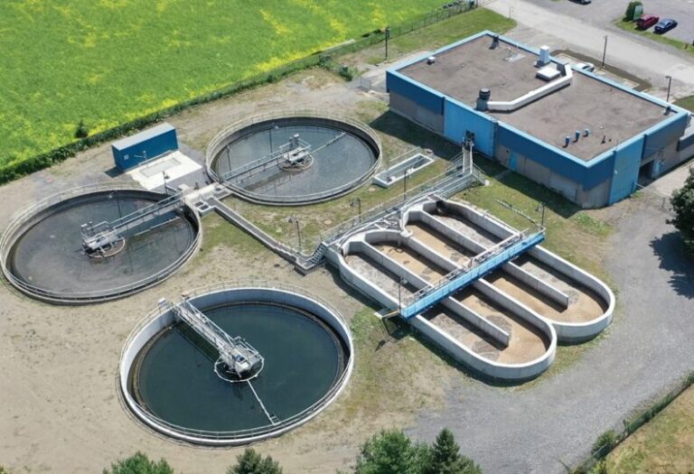
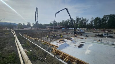


Required flood plan maps for gaspe basin
Required flood plan maps for gaspe basin