Groundwater plays a vital role in supplying drinking water to Canadians while also supporting agricultural production. As changing climates create water scarcity, there is a critical need to understand this freshwater source.
With a $10,000 donation in the Living Lake Canada’s Oldman Watershed Groundwater Program, Wolseley Canada is investing in innovative research which plays an important role in understanding groundwater knowledge in Alberta and will help shape management planning.
“Wolseley’s generous donation to the Oldman Watershed Groundwater Program is an investment in the long-term sustainability of Alberta’s water,” said Selena Schut, groundwater program manager with Living Lakes Canada. “This support will help identify and monitor priority groundwater aquifers in the Oldman watershed, while also empowering residents with increased knowledge and awareness about their groundwater.”
This large-scale pilot project serves as a template to develop a provincial framework for monitoring priority groundwater aquifers in the Oldman Watershed in southwestern Alberta.
“Wolseley Waterworks is proud to support Living Lakes Canada in their work to identify groundwater sources,” said Jason Larner, general manager, Waterworks, Western Canada at Wolseley Canada. “Safeguarding our groundwater aquifers will help with sustainable water use and ensures future generations have access to freshwater.”
The program will establish three community cluster areas, each hosting three Volunteer Observation Wells. One of these areas is confirmed to be on Piikani Nation lands, where mapping has already been conducted to assess subsurface conditions. The remaining two cluster areas will be identified through a combination of scientific analysis and community input, ensuring both data-driven decisions and local priorities shape the project.
Once the additional areas are selected, mapping will be performed around these locations to gather detailed subsurface data, which will inform groundwater management strategies and support sustainable water use in the region.
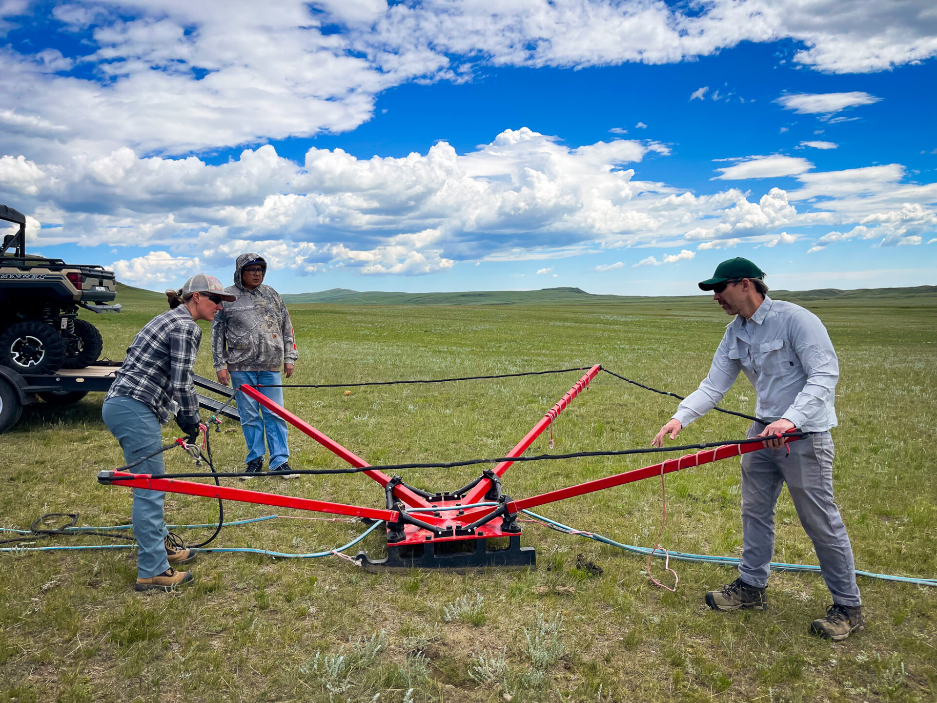
Mapping is done using the Towed-Transient Electromagnetics (tTEM) system that uses an alternating electromagnetic field to induce current in the ground, and then measures the decay of the current. These one-dimensional soundings can then be used to model the electrical resistivity of the sub-surface with depth wherever a measurement is taken.
The tTEM can collect ~50,000 sounding points per day, resulting in a cross-section of electrical resistivity to a depth of approximately 100 metres and a distance of up to ~60 kilometres (or as far as a quad or snowmobile can drive in a day).
This system is cost-effective for scanning large areas on the ground, providing detailed images similar to airborne surveys, but with much higher image resolution. In regions with electrically resistive sand and gravel aquifers (characteristic of most unconsolidated aquifers in Alberta), tTEM will serve as a rapid aquifer locator and mapper.
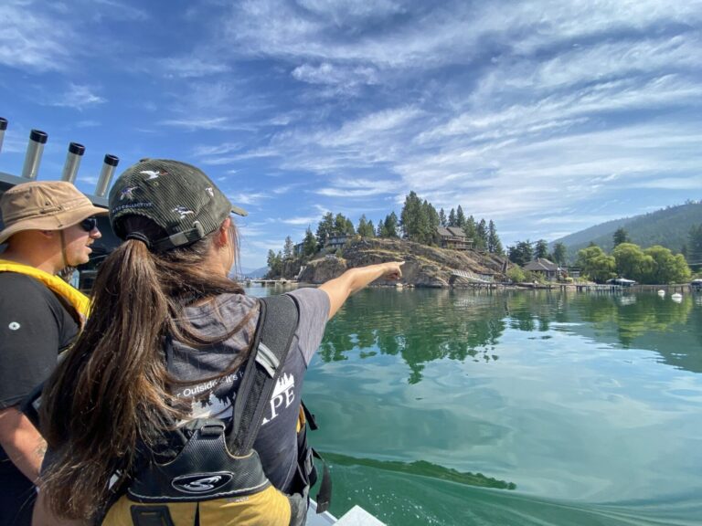
Featured image: Conducting the tTEM survey. (Living Lakes Canada)