By CSA Group
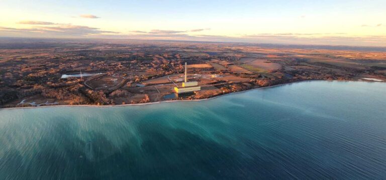
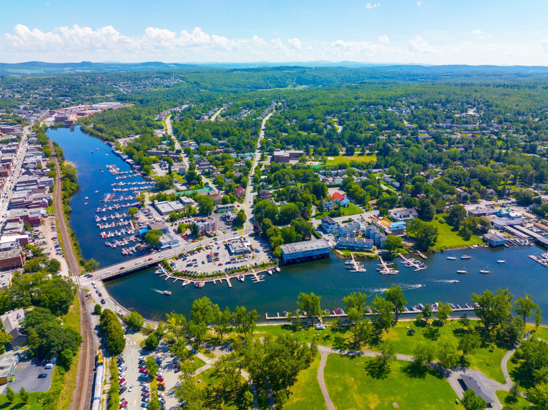
Across Canada, communities are confronting a new hydrologic reality. From atmospheric rivers on the West Coast to intense summer cloudbursts in the Prairies and hurricanes in Atlantic Canada, extreme rainfall events are becoming more frequent and more severe. The consequences are visible: flooded neighbourhoods, overwhelmed storm sewers, damaged roads and bridges, and rising costs for municipalities and insurers alike.
Rising temperatures are intensifying the hydrologic cycle, increasing the likelihood of heavy precipitation events and associated flooding. For engineers, planners, and asset owners, this shift presents a fundamental challenge: historical climate records can no longer serve as the sole basis for future infrastructure design. At the same time, efficient flood mitigation strategies require updated and more precise information on areas at risk of flooding.
CSA Group standards help address these gaps by providing clear, practical guidance on estimating future rainfall extremes, acquiring terrain data, and developing and sharing flood maps—supporting flood risk and emergency management in communities, as well as the design, construction, and management of flood-resilient stormwater and water infrastructure.
Adapting rainfall projections for changing climate scenarios
Intensity-duration-frequency (IDF) curves are foundational tools in water resources engineering. They describe the statistical relationship between rainfall intensity, storm duration, and the probability of occurrence. Community planners and engineers rely on IDF curves to size culverts, storm sewers, detention ponds, and wastewater systems, map floodplains, and develop emergency plans.
Historically, IDF curves were derived solely from long-term observational records at weather stations. However, with the increased frequency and intensity of extreme rainfall events, designs based only on past conditions may underestimate future risk over an asset’s service life.
The new National Standard of Canada, CSA W231:25, Developing and interpreting intensity-duration-frequency (IDF) information under a changing climate, helps address the challenge. The standard establishes normative language and detailed methodologies for deriving future extreme rainfall intensity, including rainfall-temperature scaling and climate model outputs. It also provides guidance on assessing and accounting for uncertainty in projected IDF values—an essential step for resilient infrastructure design.
A more accurate assessment of the likelihood of extreme rainfall events supports informed decision-making on strategies to improve the resilience and safety of Canadian communities, allowing planners to consider future climate conditions during both new builds and retrofits.
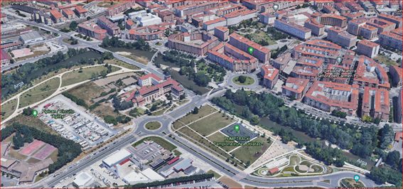
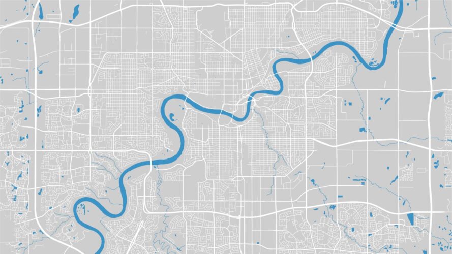
Raising the bar for flood mapping data
Combining topography, hydrology, and land-use data, flood maps identify areas prone to flooding, helping inform community development, flood mitigation strategies, and emergency planning. Flood mapping in Canada is currently undergoing significant updates to address outdated, fragmented, and inconsistent data, as well as access to this crucial information.
To increase the accuracy of flood mapping, the National Standard of Canada CSA W229.2:25, Geomatics for flood mapping, establishes requirements and recommendations for producing consistent, interoperable flood maps and associated geospatial datasets across Canada. The standard recognizes the evolution of flood mapping practice and supports the use of new technologies, including hydraulic modelling, data processing, remote sensing, and high-resolution aerial imagery. By encouraging the incorporation of climate data and projected climate scenarios into mapping processes, CSA W229.2:25 helps future-proof flood maps and reinforces their role as decision-making tools for disaster mitigation, emergency planning, and land-use planning.
For municipalities, this means flood maps that are technically robust, defensible under regulatory scrutiny, and easier to share across agencies and levels of government.
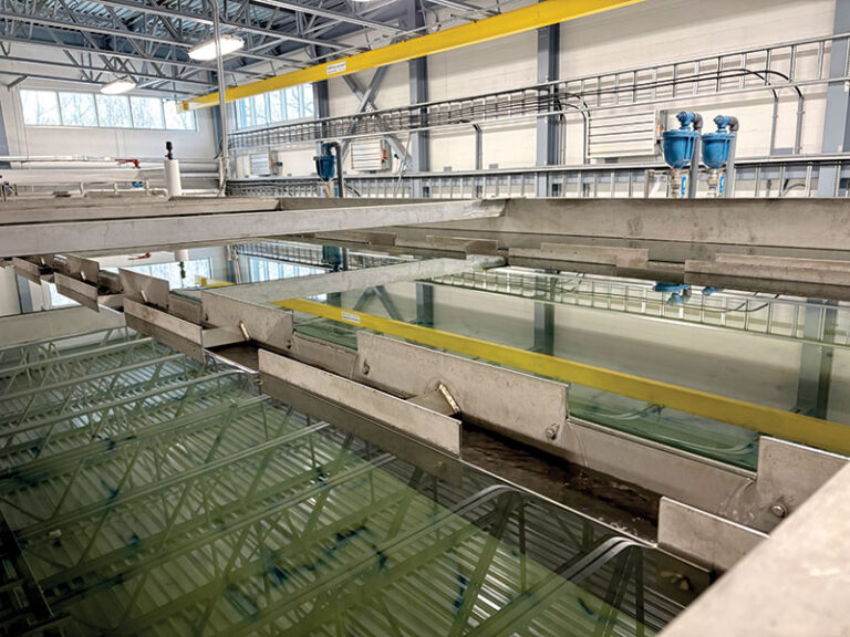
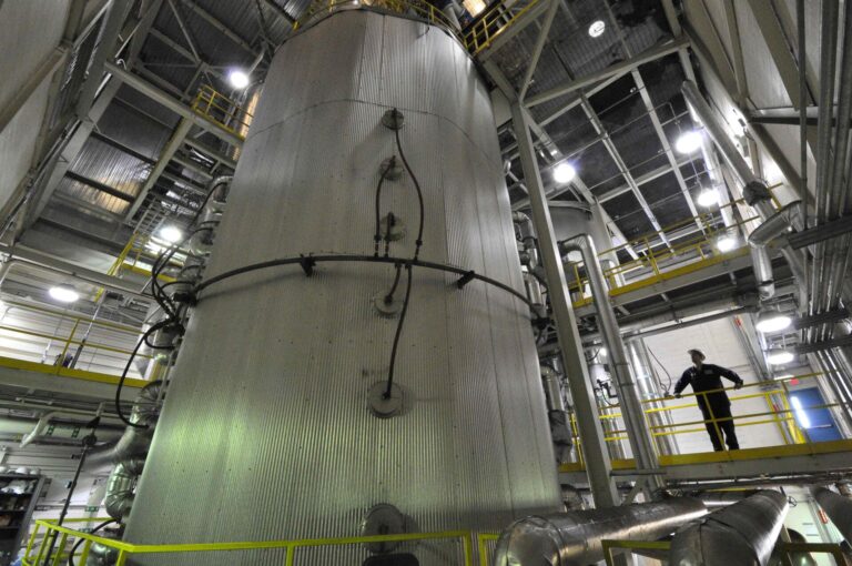
Helping provide high-precision land elevation data
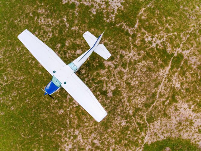
Reliable flood modelling and mapping depend on high-quality terrain data. Even small vertical errors in elevation models can translate into significant misrepresentation of flood extents, depths, and velocities. Airborne lidar technology can provide high-precision land elevation data for mapping applications. With this technology widely adopted across Canada, it is important to promote consistent data acquisition that can support reliable flood modelling and risk assessment.
CSA Group’s standard CSA W229.1:25, Airborne lidar data acquisition, helps create a national framework for planning, collecting, processing, validating, and delivering airborne lidar data. Building on the Federal Airborne LiDAR Data Acquisition Guideline (Version 3.1, 2022), published by Natural Resources Canada, the new standard establishes consistent requirements for producing high-precision elevation datasets.
Accurate digital terrain models (DTMs) generated in accordance with CSA W229.1:25 can provide a critical input to hydrologic and hydraulic models used in floodplain delineation—directly linking terrain data quality to risk management outcomes.
For municipal and regional authorities, standardized lidar acquisition reduces variability between datasets, improves interoperability, and strengthens the national elevation data foundation. It also reduces long-term costs by minimizing rework and improving comparability across projects and jurisdictions.
Standards for improved flood resilience of Canadian communities
From updating storm sewer design criteria and refining floodplain boundaries to prioritizing infrastructure upgrades, CSA Group’s water-related standards provide practical, technically rigorous guidance that supports informed decision-making on flood mitigation strategies and efforts.
By equipping engineers, consultants, planners, and asset owners with standardized, forward-looking methodologies, CSA Group is helping develop climate-ready Canadian communities and design and manage climate-ready water infrastructure. In the face of tomorrow’s storms, better data and better standards are not optional. They are essential. Find out more about CSA Group’s standards for flood mitigation and resiliency in communities.