The Government of Yukon has released the March 1 Yukon snow survey bulletin and water supply forecast.
The survey found the snowpack ranges from near normal in the Mayo region to well above normal in the Teslin region, a Government of Yukon press release said.
Teslin / Big Salmon, Central Yukon (Carmacks area), White, Liard and Lower Yukon (Dawson / Klondike area) basin snowpacks are all well above normal for March 1, the release noted.
The Upper Yukon (Southern Lakes / Whitehorse area), Peel, Pelly and Alsek basins are all above normal with the Stewart River Basin close to normal. Poor weather conditions prevented the collection of enough snow measurements in the headwaters of the Porcupine River Basin to inform a March 1 snowpack estimate bit Old Crow had a normal snowpack and climate modelling suggests close to normal snowpack in the basin.
Conditions indicate there is an above average freshet flood potential for small creeks in the Teslin / Big Salmon, Central Yukon, White, Liard, Lower Yukon and Upper Yukon basins and an elevated flood risk for the communities of Teslin, Carmacks, Upper Liard and the Klondike Valley, the release said.
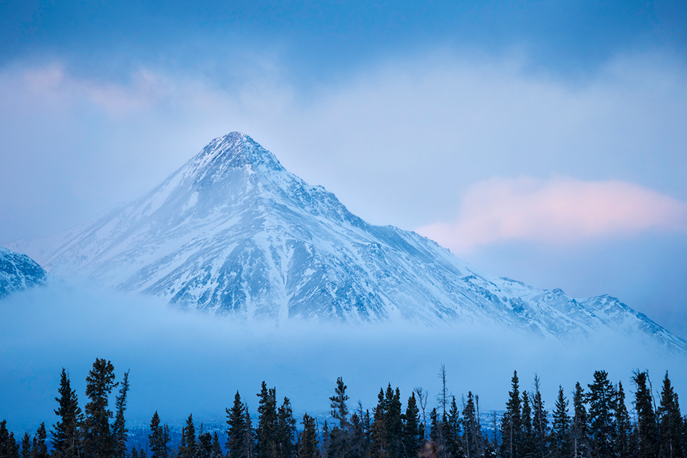
The Southern Lakes snowpack is well above normal in the lower basin, but the high elevation mountain snowpack is closer to normal.
Above normal snowpack increases flood potential for the Southern Lakes but the timing of snowmelt, summer precipitation and glacial melt act together to drive flooding, making flood potential in the area more uncertain than other communities.
Snowpack is one of several risk factors for high flows, water levels and flooding during the spring breakup and snowmelt period, the release said.
Spring weather, the timing and progression of snowmelt and precipitation events are also important drivers of flooding regardless of snowpack levels.