The Government of Canada is investing $89.7 million over five years to modernize Canada’s water monitoring services. This investment will help Canadians continue to get the most timely and accurate information possible on water flow and water levels across Canada’s rivers and lakes.
The funding from the Government of Canada will help the National Hydrological Service hire new employees, which will help it strengthen its engineering and technical capacity. Funding will also allow for the modernization of the national hydrometric network’s stations and infrastructure, facilitating continuous collection and dissemination of data on water flow and water levels, across the country. In addition to this, the funding will allow Environment and Climate Change Canada to test and implement new data gathering and data analysis technologies.
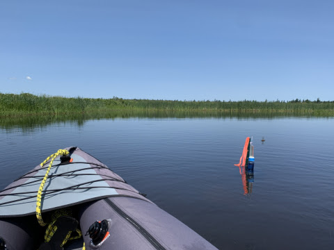
Canada’s National Hydrological Service is responsible for monitoring water quantity and flow, across Canada, in partnership with the provinces and territories. This investment supports National Hydrological Service research on the impacts of climate change on freshwater resources, ensuring all levels of government, businesses, and Canadians are prepared in the event of flooding, drought, or any other water-related disasters.
The announcement was made by Greg Fergus, the member of parliament for Hull–Aylmer, on behalf of Catherine McKenna, minister of environment and climate change. Fergus is also the parliamentary secretary to the president of the Treasury Board and minister of digital government.
“Climate change is bringing increasingly severe floods and droughts to Canada,” said Catherine McKenna, minister of environment and climate change. “By modernizing our water-monitoring infrastructure, we’re making sure Canadians and all orders of government have the information needed to anticipate and prepare for extreme weather events. Investments like this one help us protect ourselves and our loved ones from the worst impacts of climate change and ensure we are building a better future.”
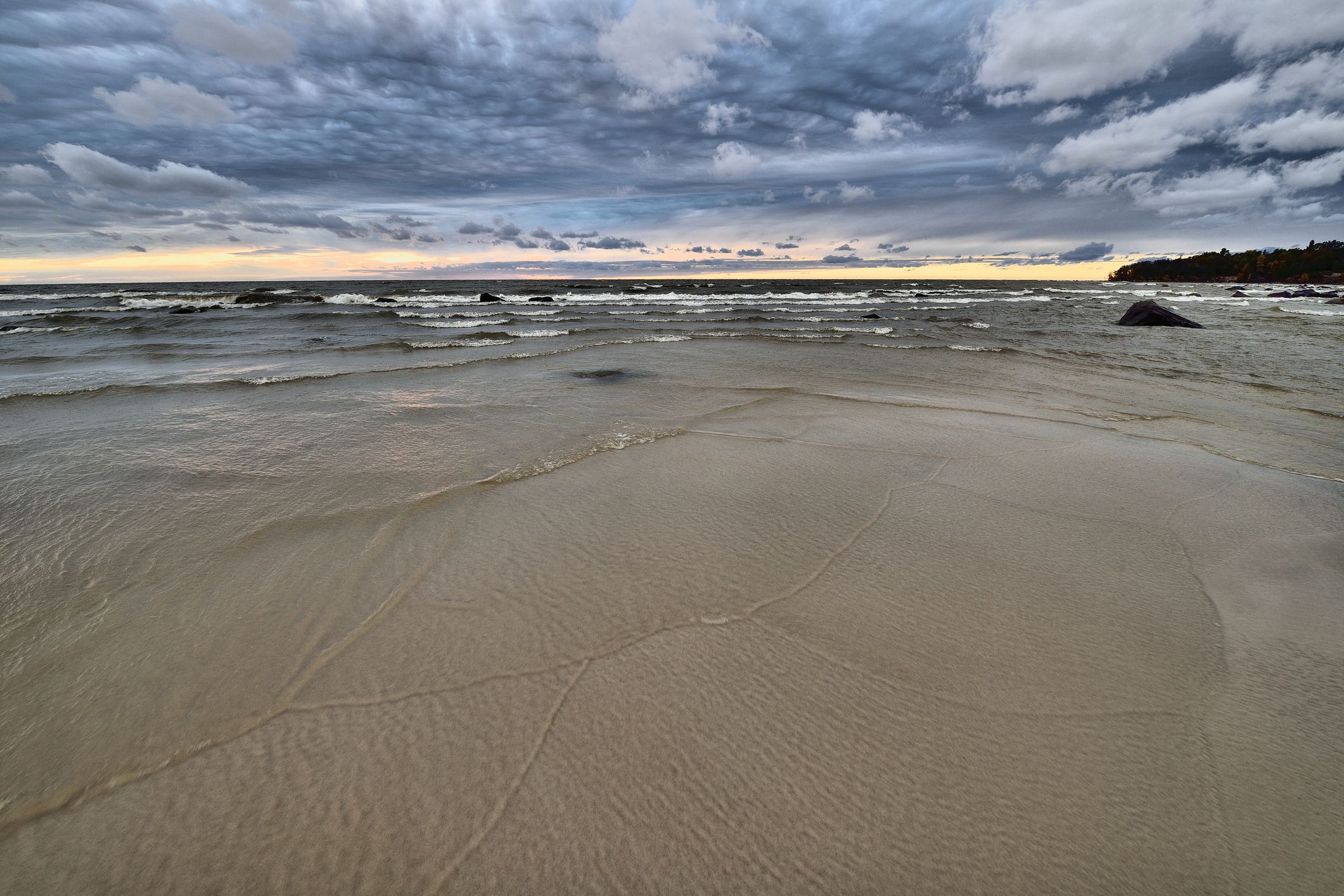
Over the next four years, the Government of Canada will begin to provide water quantity and flow prediction services for five of Canada’s most important water basins: Great Lakes–St. Lawrence River, Saskatchewan–Nelson, Mackenzie, Columbia, and Churchill rivers. It will also develop coastal-water-level information and services for flood-risk-alert management on the Atlantic coast.