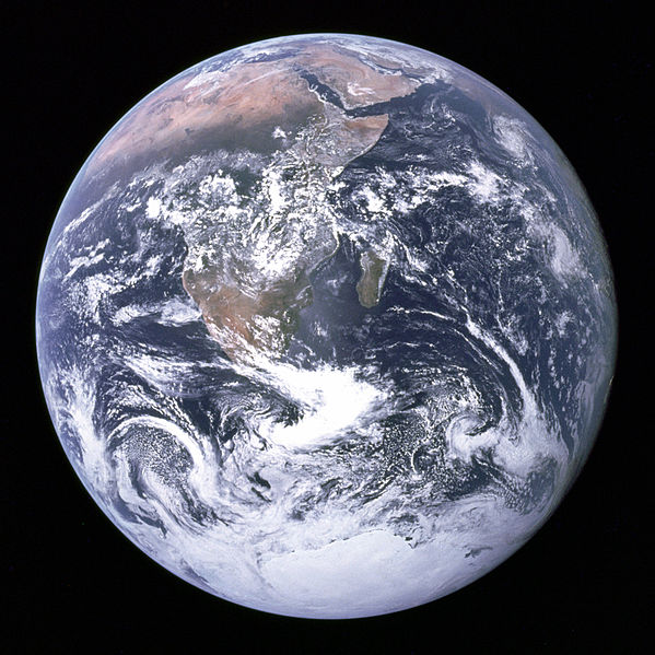
A new global, satellite-based study of global freshwater distribution found that Earth’s wet areas are getting wetter, while dry areas are getting drier. The data suggest that this pattern is due to a variety of factors, including human water management practices, human-caused climate change, and natural climate cycles.
The NASA-led research team, supported by the University of Maryland’s Earth System Science Interdisciplinary Center (ESSIC), used 14 years of observations from the Gravity Recovery and Climate Experiment (GRACE) mission to track global trends in freshwater in 34 regions around the world.
The study, Emerging trends in global freshwater availability, was published in the journal Nature and incorporates satellite precipitation data from the ESSIC-led Global Precipitation Climatology Project; Landsat imagery from NASA and the U.S. Geological Survey; irrigation maps; and published reports of human activities related to agriculture, mining and reservoir operations.
“This is the first time we’ve assessed how freshwater availability is changing, everywhere on Earth, using satellite observations,” said Matt Rodell, lead author of the paper and chief of the Hydrological Sciences Laboratory at NASA’s Goddard Space Flight Center. “A key goal was to distinguish shifts in terrestrial water storage caused by natural variability—wet periods and dry periods associated with El Niño and La Niña, for example— from trends related to climate change or human impacts, like pumping groundwater out of an aquifer faster than it is replenished.”
Data on terrestrial water storage in Canada provides a somewhat ambiguous picture of net loss. The uncertainty is due to glacial waters, which can cause variance in predicted water volumes. This most impacts estimates of loss in central Canada, which the researchers found to have an approximate loss of 7.0 ± 6.4 gigatonnes per year.
Other areas provided evidence more consistent with previous research. Rodell et al.’s work was “consistent with a recent study that concluded that Canada’s subarctic lakes are vulnerable to drying when snow cover declines and that recent bouts of drying may be unprecedented in the past 200 years.”
“What we are witnessing is major hydrologic change,” said co-author James Famiglietti of NASA’s Jet Propulsion Laboratory. “We see, for the first time, a very distinctive pattern of the wet land areas of the world getting wetter—those are the high latitudes and the tropics—and the dry areas in between getting dryer. Embedded within the dry areas we see multiple hotspots resulting from groundwater depletion.”
The twin GRACE satellites, launched in 2002 as a joint mission with the German Aerospace Center (DLR), precisely measured the distance between the two satellites to detect changes in Earth’s gravity field caused by movements of mass on the planet below. Using this method, GRACE tracked variations in terrestrial water storage on monthly to yearly timescales until its science mission ended in October 2017.
One of the big causes of groundwater depletion across the board was agriculture, which can be complicated by natural cycles as seen in California, Famiglietti said. Decreases in freshwater caused by the severe drought from 2007 to 2015 were compounded by groundwater withdrawals to support the farms in the state’s Central Valley.
Downward trends in freshwater seen in Saudi Arabia also reflect agricultural pressures. From 2002 to 2016, the region lost 6.1 gigatonnes per year of stored groundwater. Imagery from the Landsat series of satellites shows the growth of irrigated farmland in the arid landscape from 1987 to the present, which explains the increased drawdown.