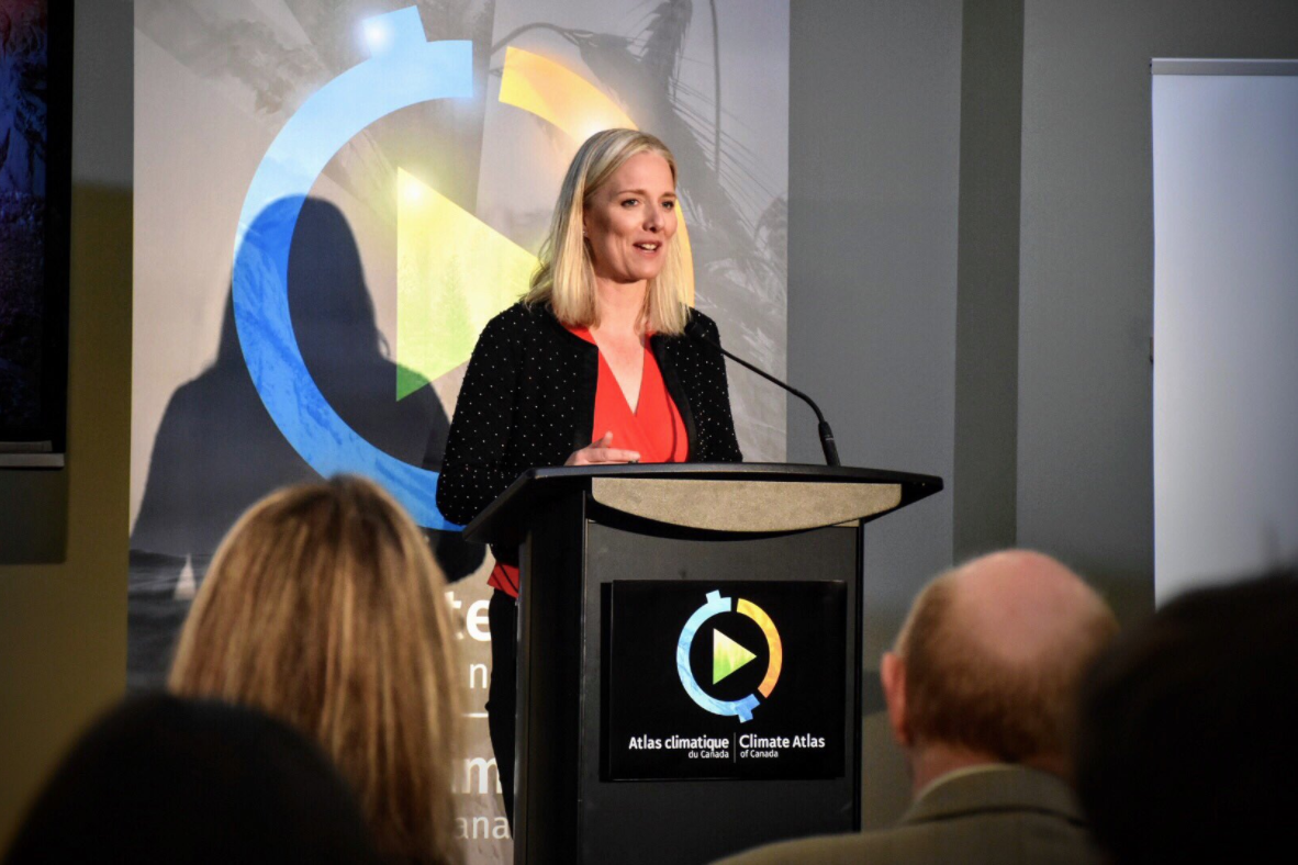
Climate Atlas of Canada Launched at the ROM Today
Minister McKenna and Ontario Premier Kathleen Wynne met at the Royal Ontario Museum in Toronto today to announce a joint initiative between the Prairie Climate Centre, University of…

Minister McKenna and Ontario Premier Kathleen Wynne met at the Royal Ontario Museum in Toronto today to announce a joint initiative between the Prairie Climate Centre, University of…
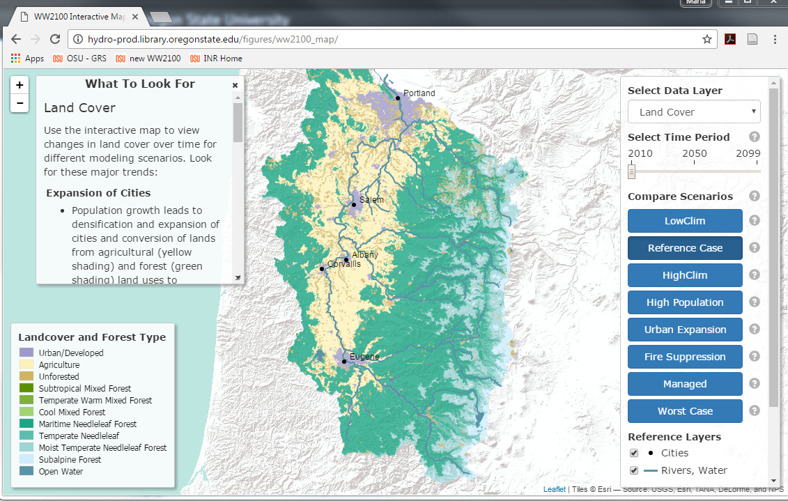
Understanding the fine-level interactions between nature and people is essential in determining whether a region will suffer water scarcity in the future. That’s a key…
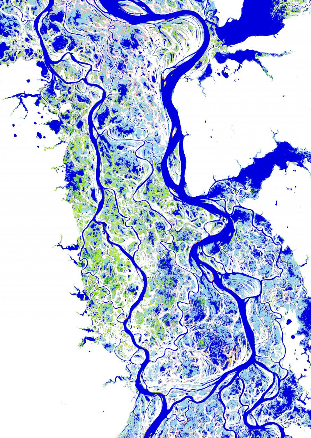
The European Commission’s Joint Research Centre (JRC) has published a study of global surface water and its long-term changes in the science journal Nature. Using…
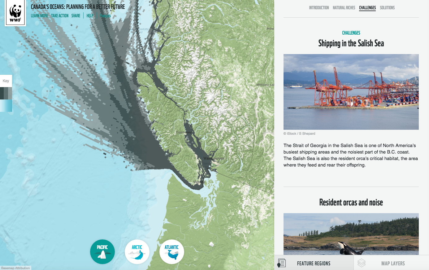
A new interactive map launched this week brings together for the first time the fullest picture of how people and wildlife use Canada’s oceans. The Oceans Map, created…
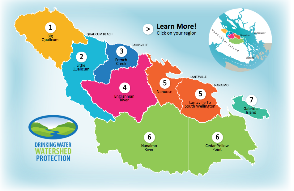
Residents of the Regional District of Nanaimo can now use an online interactive place-based tool to learn about water supplies and use, as part of…