
Floodway and Flood Risk Data Available for Saint John
Saint John, New Brunswick formally launched its Open Data portal in conjunction with International Open Data Day this past Saturday, March 3rd, including data on…
Saint John, New Brunswick formally launched its Open Data portal in conjunction with International Open Data Day this past Saturday, March 3rd, including data on…
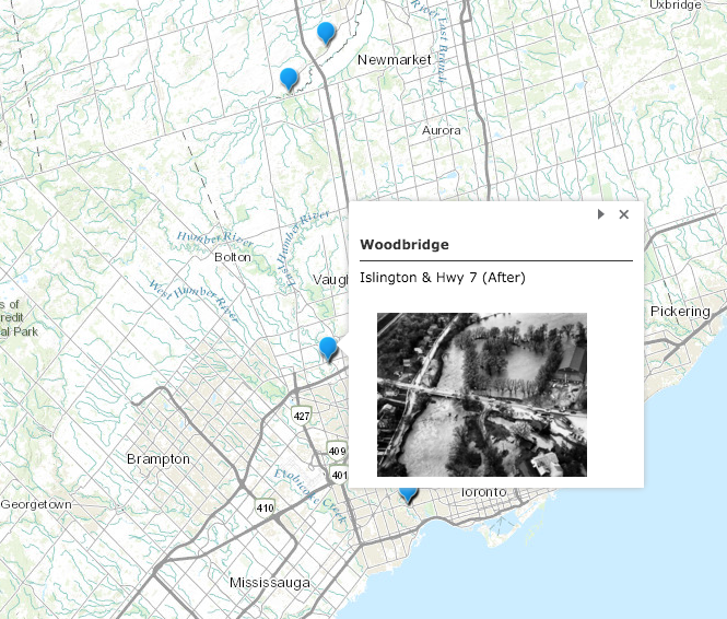
More than 60 years ago, Hurricane Hazel devastated Toronto and area. Lives were lost, properties destroyed, and history was written. Now, Toronto and Region Conservation…