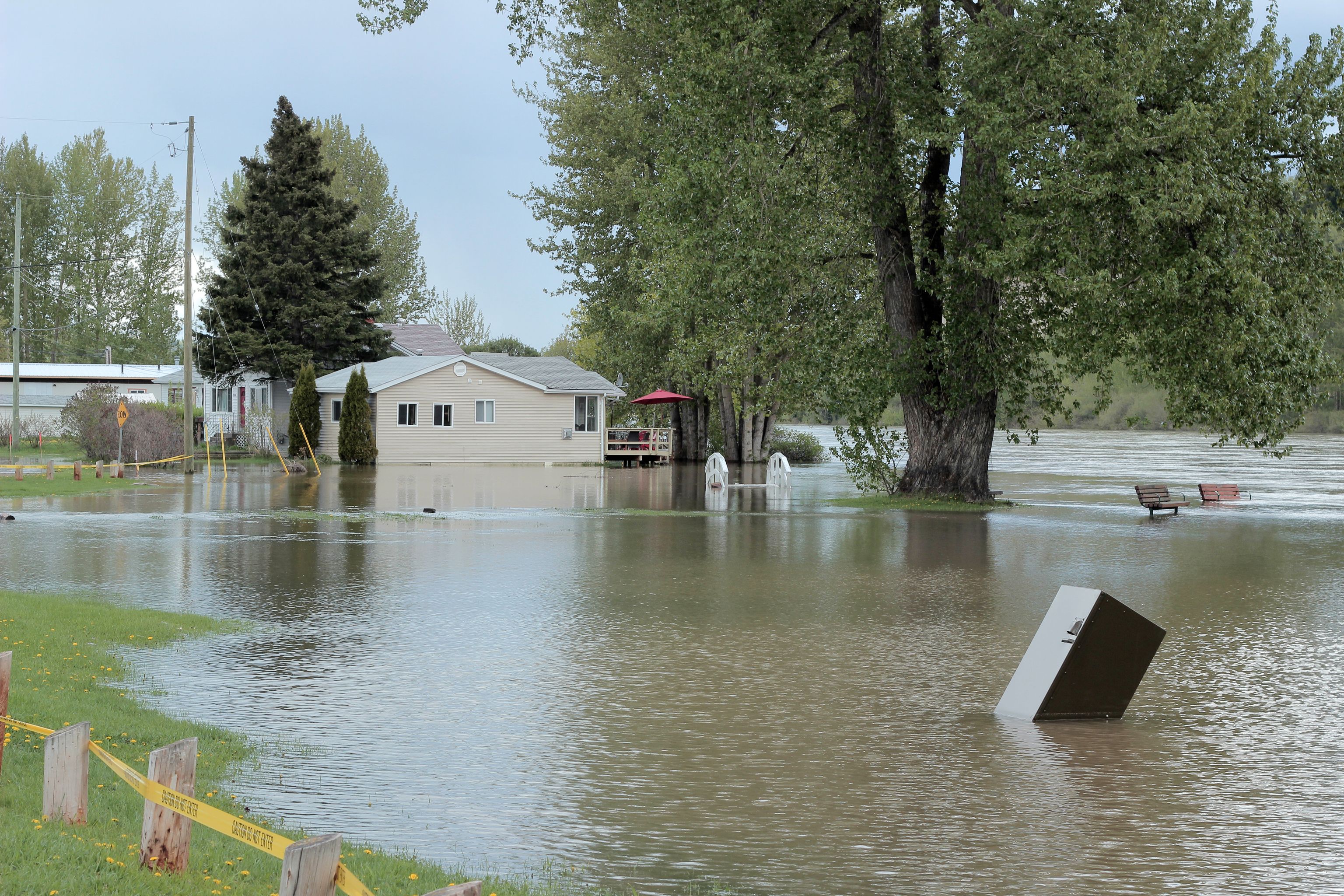
Canada’s provinces and territories received a grade of C on flood preparedness in a new report.
The Intact Centre on Climate Adaptation at the University of Waterloo interviewed 139 provincial and territorial government representatives responsible for managing floods, climate-related risks, and emergency services from across all regions of Canada to calculate the grade.
A comparable study completed in 2016 resulted in a national score of C-, suggesting that Canada’s preparedness to limit flood risk has showed progress over the past four years.
“Canada is heading in the right direction on flood risk protection,” said Blair Feltmate, head of the Intact Centre and an author of the report. “In light of effectively irreversible climate change, both the challenge and opportunity going forward will be to continue to deploy measures to limit future risk of flooding.”
The flood preparedness of provinces was evaluated relative to nine criteria and territories was evaluated relative to seven criteria, respectively. The criteria addressed such topics as:
- The state of readiness of Canada’s flood plain maps.
- Land use planning relative to flood risk.
- Efforts to retain natural infrastructure.
- Flood safety and preparedness of critical infrastructure.
- Public health and emergency management capacity to limit flood risk.
For each interview and area examined, provinces and territories were assessed on a quantitative five-point scale, which ranged from ‘A’ for the highest state of flood preparedness, to ‘E’ for the least prepared.
Key highlights of the study include:
- Alberta, New Brunswick, Newfoundland and Labrador, Prince Edward Island, and Yukon declared that they have incorporated the impacts of climate change into their floodplain mapping initiatives. British Columbia, Manitoba, Nova Scotia, Ontario, Quebec, and Saskatchewan only collaborate with local governments and agencies regarding the incorporation of climate change into floodplain maps.
- Provinces and territories reported significant strengths in emergency management, particularly related to maintaining flood forecasting and alert warning systems during flood events.
- Provinces and territories showed diligence in sustainable flood management regarding effort to retain natural infrastructure, such as wetlands, within new community developments.
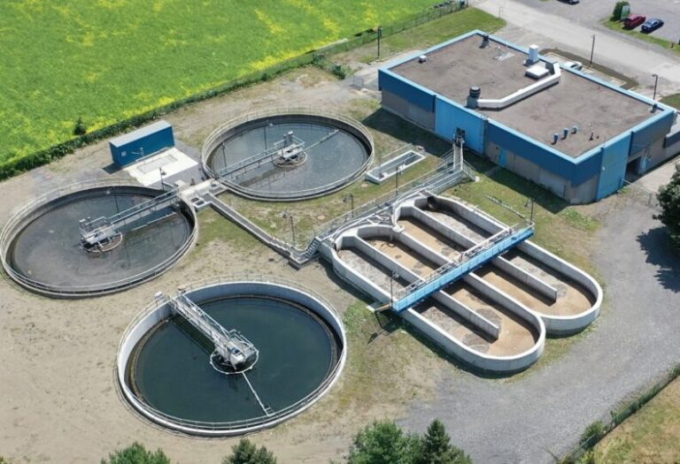
- Provinces and territories indicated limited involvement to mitigate flood risk applied to the integrity of critical infrastructure, including electrical systems, telecommunication systems, highway infrastructure, integrity of pipelines, and water supply/wastewater treatment.
- Provinces and territories received relatively low scores in land use planning—reflecting the need to limit new development within floodplains and/or to deploy existing adaptation standards to limit flood risk in vulnerable locations.
- For all provinces and territories, particularly in light of a changing climate, there is both a need and opportunity to review system interdependencies (e.g., electricity generation, fuel supply, telecommunications services, etc.) to avoid cascading system failures.
Of the primary sources of flooding across Canada (i.e., riverine, urban, coastal, ice jams, groundwater), only riverine mapping has been developed by all provinces for some portion of their jurisdiction. For all other flood sources—that prove increasingly challenging against the backdrop of climate change—the report identified that mapping efforts remain either underdeveloped, incomplete, or non-existent.
“Climate change is not solely an environmental issue, it’s a societal and economic one” said Charles Brindamour, chief executive officer of Intact Financial. “Adapting to the impacts of climate change is a collective effort. The recommendations in this report enable communities, NGOs, and governments to continue to progress and accelerate resilience measures and standards that will have a lasting impact.”
A copy of the full report is available here.


