At the request of the Ontario Ministry of Environment and Climate Change (MOECC), the City of Guelph has signed a reciprocal agreement with Nestlé Waters Canada to share data on groundwater in the area of of Guelph and the Guelph-Eramosa Township.
The agreement will give Nestlé access to analysis from its science-based groundwater flow model through a consultant. The city’s model was developed with the Grand River Conservation Authority and Guelph-Eramosa Township and uses the best available science to determine the effects of water-taking impacts on groundwater availability.
“The public told the Province they wanted science-based policy decisions around water bottling. This data sharing supports that by using a peer-reviewed, science-based model to determine what impacts Nestlé Waters Canada’s water takings will have on the aquifer,” said Peter Busatto, General Manager of Environmental Services for Guelph.
The MOECC has asked the Guelph to share analysis from its existing groundwater flow model with Nestlé Waters Canada to support new requirements for permit-to-take-water applications for companies that bottle water. As such, Nestlé Waters Canada will be accessing the closest municipality’s Tier 3 groundwater model in order to complete our permit renewal applications for Aberfoyle and Erin. Nestlé Waters Canada will use the city’s existing, peer-reviewed model which, once it includes the Nestlé Waters Canada data, will provide the best available analysis on groundwater for the area.
“We are looking forward to providing the City of Guelph our data to refine their groundwater model. Nestlé Waters Canada has more than 17 years of reliable and independently reviewed data,” said Dr. Andreanne Simard, Nestlé Waters Canada’s natural resource manager. “In doing so, we are ensuring that our permit renewal applications are backed by the best available science.”
The city stated that data sharing will benefit both the city and the Guelph community in a number of ways, including:
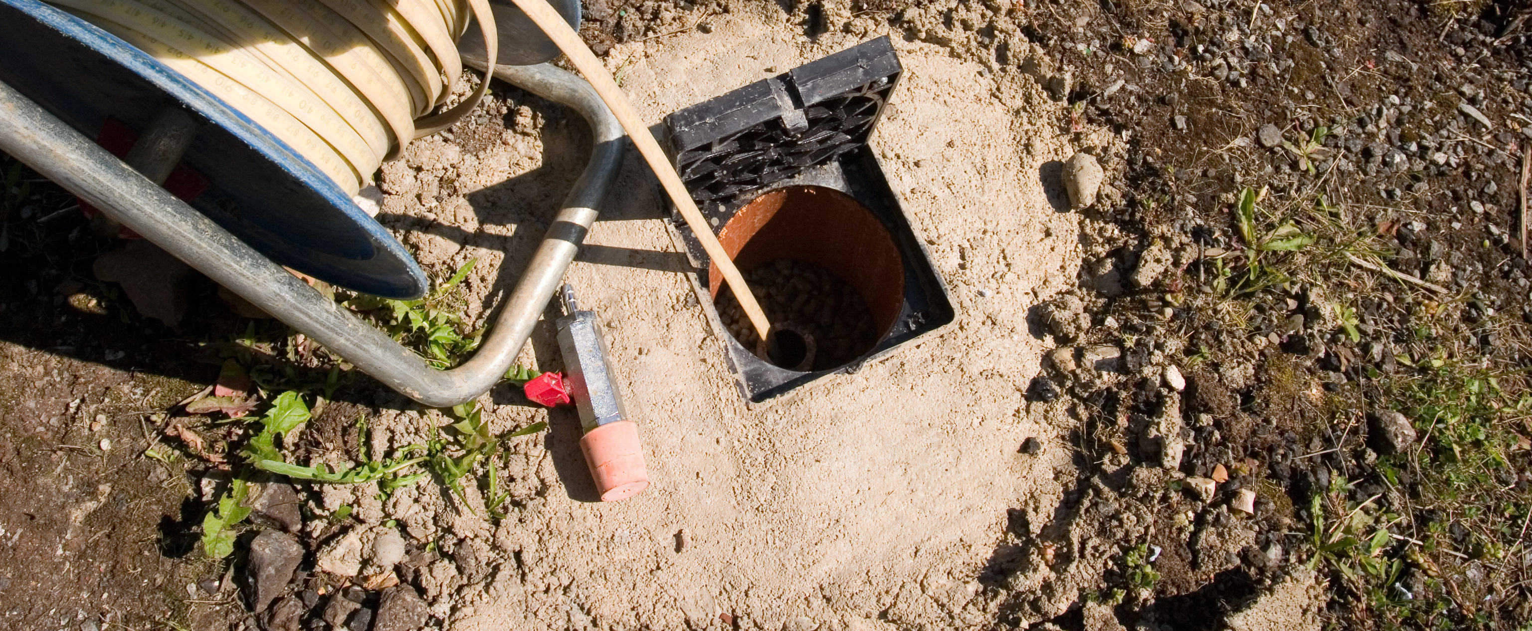
- Improving and updating the City’s model by incorporation of Nestlé Waters Canada data from hydrogeological (occurrence and distribution of water) studies on their property;
- Ensuring the best possible science is used to assess water-taking applications and renewals; and
- Ensuring that water taking permit applications in the same area are using the same science and data for analysis.
The Grand River Conservation Authority, as the Source Protection Authority for the Lake Erie Source Protection Region, led the development of the computer model to assess groundwater in the region. The model was developed to support Source Water Protection efforts and looks at how much water enters a watershed, is stored, and leaves the watershed.