To stop biodiversity loss, Canada has committed to protecting 30 per cent of its land and sea by 2030. But making conservation decisions about where to locate new protected areas is complicated. It depends on data both about biodiversity and about a range of benefits (e.g. freshwater, climate regulation, recreation, etc.) that people get from nature.
Despite the size of the country, new mapping suggests that less than 1 per cent of Canada’s land is a hotspot that provides all these benefits in one place. Moreover, a study published in Environmental Research Letters suggests that some of the most critical areas where people receive these key benefits from nature do not occur within currently protected areas and may be threatened by current or future natural resource extraction.
“This research is especially timely as it should help all levels of government design conservation plans that ensure that both people and nature thrive,” said Elena Bennett from McGill University’s Bieler School of the Environment. Bennett was one of the authors in a multi-institutional team that included researchers from Universities of British Columbia, McGill, and Carleton and from the Yellowstone to Yukon Conservation Initiative (Y2Y).
Identifying key areas of Canada that provide ecosystem services
The paper highlights multiple places across Canada as important for one or more ecosystem services that include providing freshwater (such as for irrigation, drinking, or hydroelectricity), climate regulation (as in the case of forests and wetlands that act as carbon sinks), or for nature-based human recreation. These include:
- The forests of British Columbia and the Hudson Bay lowlands for above- and below-ground carbon.
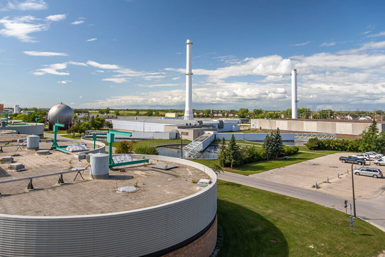
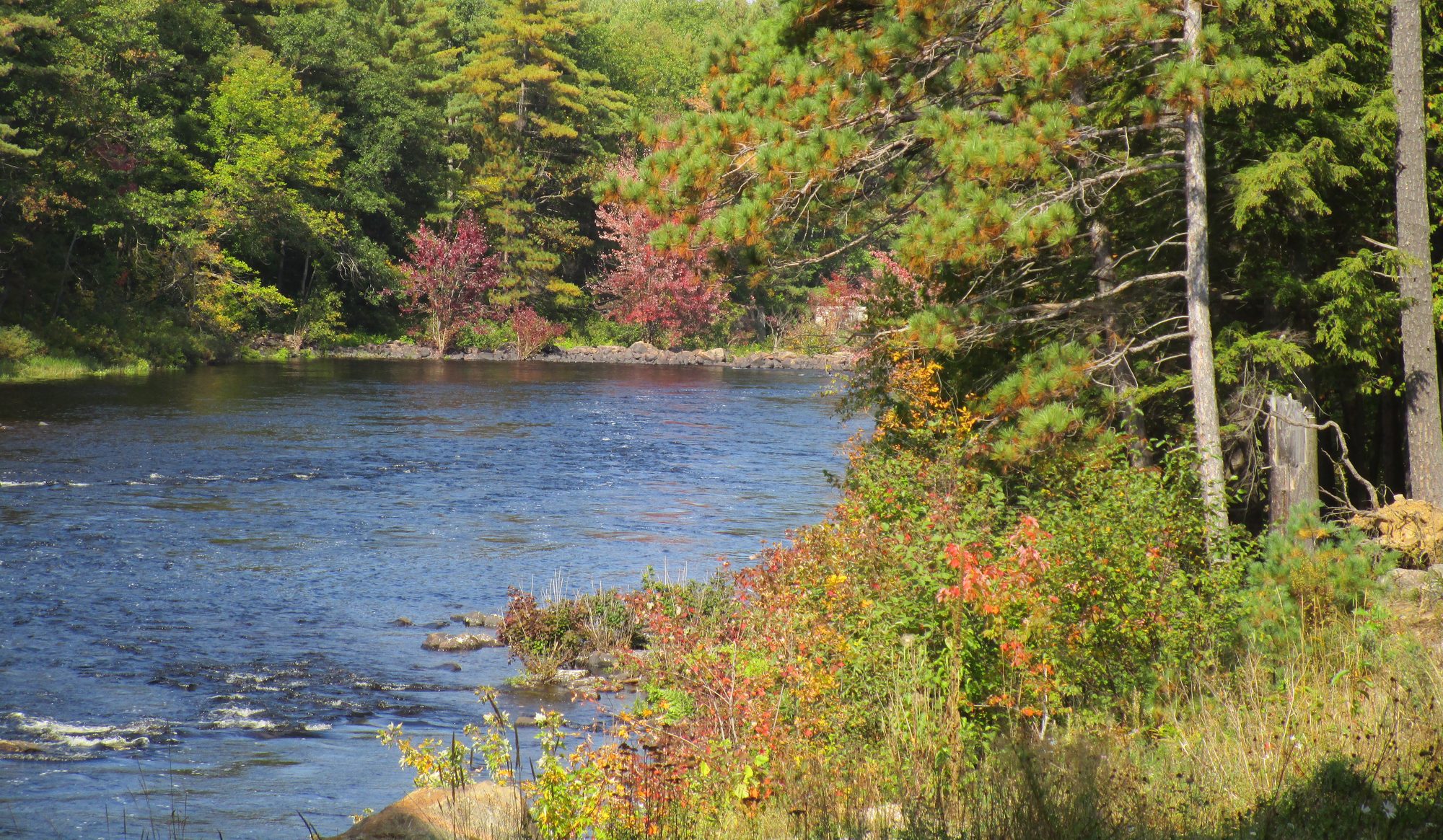
- North-central Quebec, the eastern mountains of British Columbia, the eastern slopes of the Rockies in Alberta, and the north shore of Lake Superior for freshwater.
- The Rocky Mountains, eastern Ontario, and southern Quebec for nature-based recreation.
“Canada is grappling with where and how to protect nature,” said Dr. Aerin Jacob, co-author and conservation scientist at the Yellowstone to Yukon Conservation Initiative. “Just one example of how this research could be used is in western Alberta. Our research shows that the Eastern Slopes of the Rockies is one of the most important places across the whole country for its combination of freshwater, carbon storage, and recreation—not to mention important wildlife habitat—and yet, the same area is at risk from open-pit coal mining and other threats.”
A question of both supply and demand
Crucially and unusually, the mapping methods included both nature’s capacity to supply these benefits as well as the human access and demand for them.
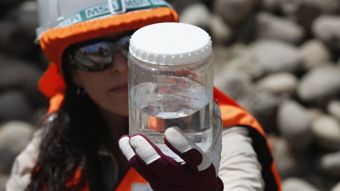
“Most research that studies the benefits people get from nature only evaluates where nature has the potential to supply these benefits,” said Dr. Matthew Mitchell, lead author and research associate at the University of British Columbia’s Institute for Resources, Environment, and Sustainability. “Because our work also models and maps human access and demand, we could identify where people actually receive these benefits from nature. For example, the key locations producing water that people use for drinking, farming, or hydroelectricity. Governments need to know both of these things in order to take action that protects human well-being. Research like this can help society do that.”