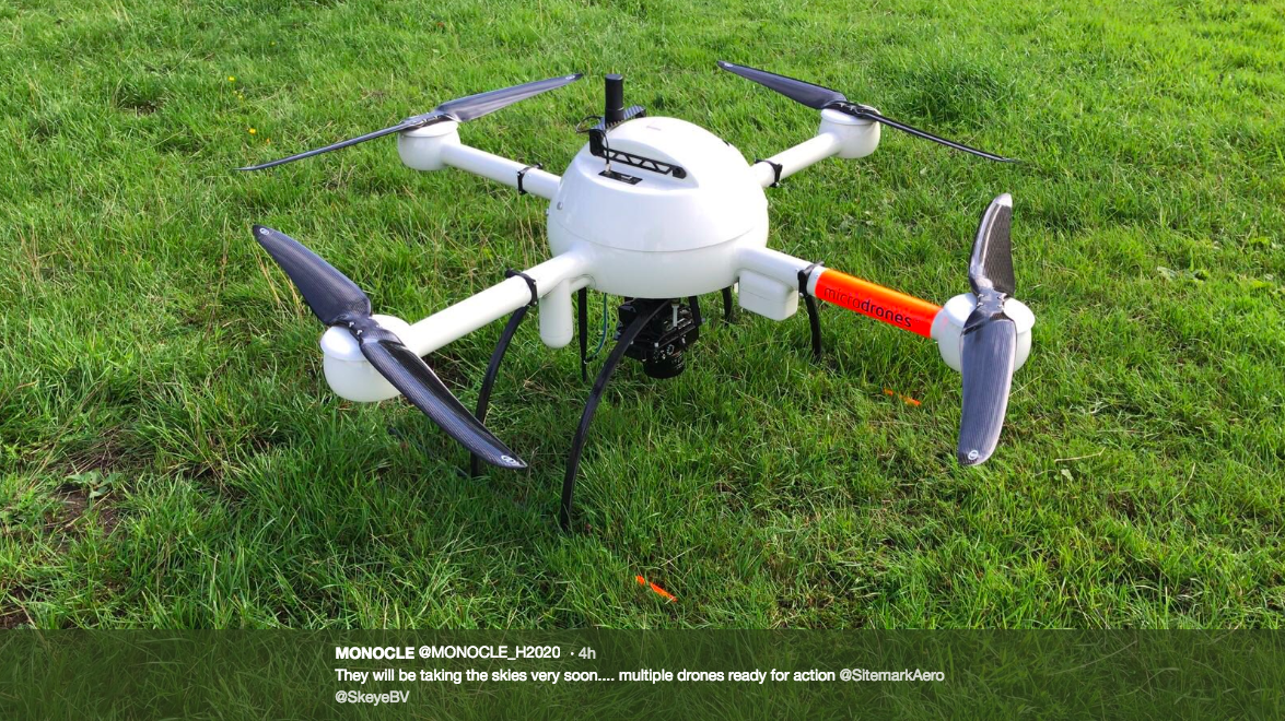
Experts are testing drones equipped with sensor technologies to enhance the monitoring of water worldwide as part of the $8.5 billion MONOCLE project funded by the European Union’s Horizon 2020 programme.
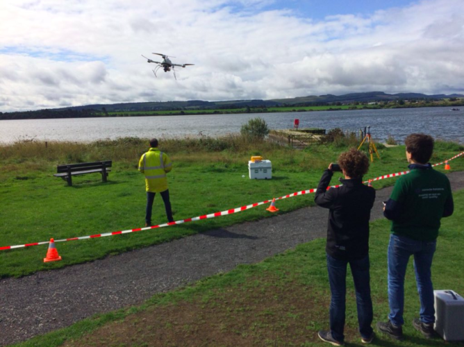
Around 20 scientists from the University of Stirling, the Plymouth Marine Laboratory, and colleagues from across Europe are gathering at Loch Leven, Kinross-shire, where they will study the feasibility of using drone and other in situ technologies to monitor the quality of water.
The work will dovetail with a Stirling-led project that is using satellites to monitor water quality from space. Scientists hope that information gathered from drones or loch-side devices will help address gaps in conventional monitoring and support data collected with satellites.
Professor Andrew Tyler, deputy dean and associate dean for research in the Faculty of Natural Sciences at Stirling, leads the $4.8 billion (£2.9 million) GloboLakes project, which uses satellites of the European Space Agency to monitor water quality, including the detection of algal concentrations, harmful algal blooms, and mineral and organic matter. Canadian federal scientists Dr. Patricia Chambers and Dr. Caren Binding are partners of the GloboLakes project.
While the project team believe the technology has the ability to help monitor the millions of lakes across the world, the latest study, MONOCLE, addresses specific gaps in data.
Professor Tyler said, “Only a small fraction of the world’s 100 million lakes are routinely monitored, largely due to their geographical spread and the logistical and political difficulties of monitoring water. The GloboLakes project has shown that, by using satellites, we can measure the constituents that contribute to water quality by their absorption and scattering of characteristics within the water column associated with lakes, reservoirs, rivers, and estuaries.”
Tyler added, “There are often gaps in this data—perhaps due to cloud cover, or because the bodies of water are too small to be monitored by the satellites. Therefore, the MONOCLE project now tries to fill the gaps in the data by using in situ and drone-based technologies.”
MONOCLE involves 12 partners and is led by Stefan Simis, Earth Observation scientist at Plymouth Marine Laboratory.
“It is essential to obtain regular and widespread measurements of water quality in lakes, estuaries, and coastal waters, both to support satellite observations and in their own right—we use satellites to relate water colour to water quality, while measurements in the field are essential to monitor further chemical and biological properties.”
“Deploying sensors is unfortunately still a costly effort and one of the aims of MONOCLE is to bring down this cost. Our international colleagues visiting lochs in Scotland this week are developing methods to use consumer drones and sensors which you can build yourself, alongside highly accurate measurement instruments.”
Tyler said, “We hope that, by the end of this project, both low and high-tech solutions will be available to provide information that validates existing satellite technologies and provide solutions to the gaps in space and time from satellite data covering these dynamic yet vulnerable environments.”