As wildfire seasons grow longer and more destructive, rural communities in British Columbia are turning to a proactive, made-in-B.C. solution: mapping water sources in advance of fire emergencies. Led by Living Lakes Canada, a water science and stewardship non-profit, this initiative is helping communities across the Columbia Basin strengthen their emergency readiness by identifying and documenting critical water sources before wildfires strike.
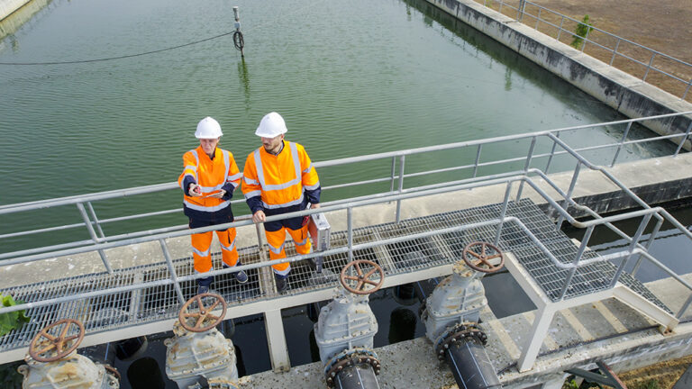
“We’re helping emergency responders find and access water more quickly,” said Paige Thurston, Wildfire Suppression Program Lead with Living Lakes. “By compiling local knowledge and water monitoring data, this project is working to protect homes, lives, and ecosystems from the impacts of increasingly intense wildfires.”
The approach has already proven effective. During the 2024 Argenta Creek wildfire, maps developed by Living Lakes Canada in collaboration with the Argenta Safety & Preparedness Society were used by BC Wildfire Service to support their response. Fire crews reported that the maps significantly cut down the time needed for field reconnaissance.
“This is a practical tool that could make a difference in response,” said Jeremy Angus, Senior Wildfire Officer with BC Wildfire Service. “We are happy to support Living Lakes on this project by providing our perspective on the demands that come from wildfire suppression.”
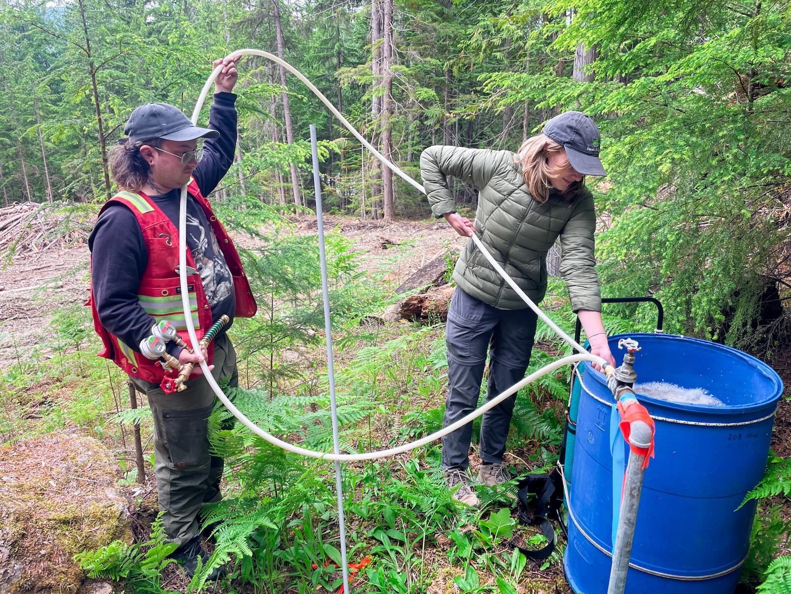
The project is deeply rooted in community collaboration. Residents are invited to share their knowledge of creeks, standpipes, hydrants, access routes and other important features on both public and private lands (with landowner consent). This on-the-ground information, often missing from existing emergency response systems, is combined with scientific water data to create detailed, interactive maps.
In the Red Mountain Road and Enterprise Creek area, longtime resident Sally Hammond contributed information about springs and creeks on her land. “I’m pleased to contribute that knowledge to an effort that will benefit our neighbourhood and make the work of firefighters safer and more effective,” she said.
This year, mapping is underway in Winlaw, Red Mountain Road, and Enterprise Creek in the West Kootenay, and in Grasmere and Yaq̓it ʔa·knuqⱡi’it First Nation in the East Kootenay. In each area, Living Lakes is working closely with a local partner and designated Community Champion who act as a liaison and garner community participation.
For Michelle Griffiths, Winlaw’s Community Champion and Program Coordinator with the Slocan Integral Forestry Cooperative, the benefits of this project are clear. “When a wildfire breaks out, there’s no time to search,” she said. “Knowing exact locations of reliable water access points and sources can mean the difference between containment and catastrophe.”
“Mapping in advance of a fire event will assist local and external response teams by adding a concise and usable system that will allow them to operate at greater efficiency and speed should an event occur,” said Wade Oestreich, Director of Fire and Emergency Services with Yaq̓it ʔa·knuqⱡi’it First Nation.
“My hope is that this collaboration will help our rural community better prepare for the next emergency,” said Nicky Blackshaw, Community Champion for Red Mountain Road and Enterprise Creek.
Mapping will continue through summer 2025, with reports and maps to be released in 2026. The project is currently 85% funded, with support from Columbia Basin Trust and Definity Financial Corporation. Additional funds are being sought to complete this round of work and expand to other high-risk communities.
“Columbia Basin Trust is proud to support this work,” said Hannah Holden, Senior Manager, Delivery of Benefits with Columbia Basin Trust. “Mapping water resources for wildfire response aligns with our goal of helping communities and First Nations to prepare for and take actions to adapt to and mitigate climate change.”
Residents in the project areas are encouraged to contribute by completing a short online questionnaire or contacting Living Lakes Canada directly. Their knowledge of local water sources could save vital time and support more effective emergency response when every minute counts.
To access the questionnaire and to learn more about this project, visit: https://livinglakescanada.ca/w
Image credit to LLC Photo.