Researchers at Concordia University announced they have developed a new method of measuring the amount of usable water stored in snowpacks.
The technique, known as snow water availability (SWA) employs climate reanalysis techniques and uses satellite data to calculate snow depth, density and snow cover across much of Canada and Alaska, a Concordia University release said.
The findings were released in the Nature journal Communications Earth & Environment.
“SWA quantifies how much water is available where snowpack exists. Knowing where the snowpack is located is critically important because where its water ultimately ends up after melting depends on where the snowpack was initially located,” Concordia associate professor in the department of building, civil and environmental engineering and study author Ali Nazemi said.
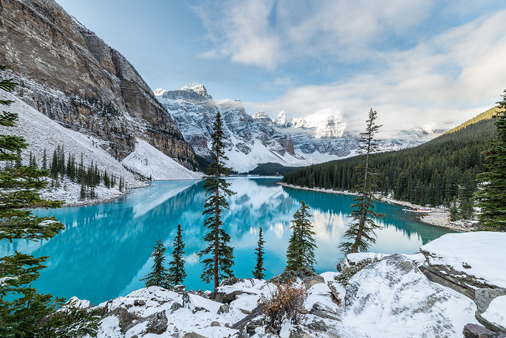
The data gathered using the methodology detailed in the study showed usable snow water declined sharply in areas of the Canadian Rockies, where major river headwaters originate.
The areas only make up three per cent of the country, the release said, but when combined with smaller declines elsewhere affect a quarter of Canada’s land mass and 86 per cent of the population.
“This is a creeping drought, a drought that can be very difficult to detect until you are in the middle of a crisis,” Nazemi said.
SWA captures rapid changes in snow cover at the beginning and end of the snow season, the release said, adding “by analyzing snow depth, density and cover on 25 by 25 km2 grids – roughly 18,000 of them, covering 4.5 million km2 – the researchers captured regional subtleties such as slopes, terrain types and uneven snow cover distribution in annual, seasonal and monthly time scales.”
Changes in snowpacks were most evident in mid-elevation regions of the Rockies. Snow depth loss emerged as the main driver of SWA decreases in these areas, the release said.
The Okanagan–Similkameen drainage region in the British Columbia interior, the Assiniboine–Red River in Saskatchewan and Manitoba, and the Saskatchewan River basin, which runs from the Rockies across the Prairies to Lake Winnipeg and beyond were the most affected.
The study is available here.