Alberta has completed close to 300 kilometres of new flood mapping for communities across the province, marking another step in its accelerated effort to improve hazard data and support local planning.
The latest maps cover areas in Hinton, Red Deer County, Markerville, Stettler, Vegreville and Pine Creek. The province says more flood mapping has been completed in the past five years than in the previous three decades combined—more than 1,850 kilometres since 2020.
Officials say the rapid progress is crucial as every river, stream and lake in Alberta has the potential to flood. Updated maps help communities understand where floodwaters are likely to flow, guiding emergency planning, land-use decisions and infrastructure development.
Since 2020, new or updated mapping has been completed for 70 municipalities and five First Nations. Alberta remains on track to meet its target of more than 3,000 kilometres of new and updated flood mapping by 2028.
“We’ve seen firsthand that floods can destroy homes, damage businesses and devastate communities, which is why we’re completing flood maps at a record pace to help communities plan better and keep Albertans safe,” Environment and Protected Areas Minister Rebecca Schulz said in a statement.
Municipal leaders said the updated information will support safer development and more reliable insurance assessments. Alberta Municipalities CEO Dana Mackie said expanded mapping strengthens community resilience, while Rural Municipalities of Alberta president Kara Westerlund said accurate data is essential for balancing growth with safety and environmental protection.
The five finalized studies include:
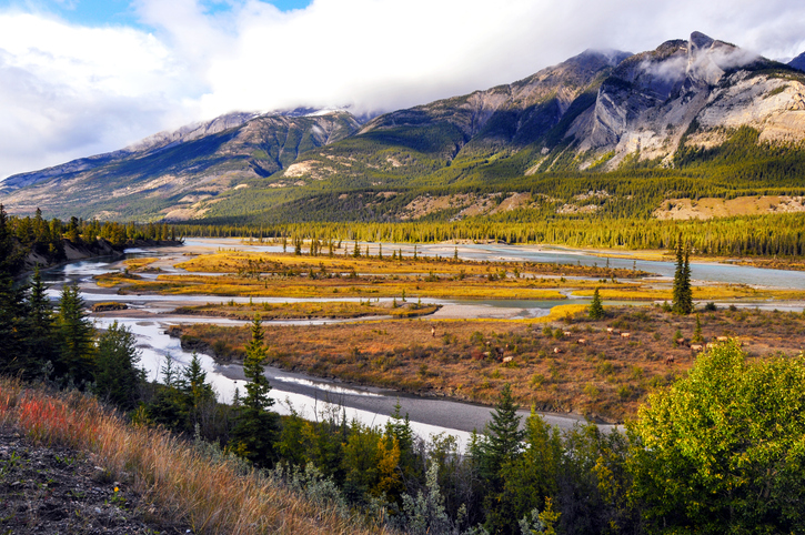
- Hinton and Yellowhead County: 27 kilometres of the Athabasca River and 29 kilometres of nearby creeks
- Red Deer County and Markerville: 46 kilometres of the Red Deer River, 32 kilometres of the Little Red Deer River and 33 kilometres of the Medicine River
- Stettler and Stettler County: 30 kilometres of Redwillow Creek and four kilometres of a tributary
- Vegreville and Minburn County: 19 kilometres of the Vermilion River and 24 kilometres of unnamed tributaries
- Calgary and Foothills County: 26 kilometres of Pine Creek and six kilometres of Radio Tower Creek
Except for Pine Creek, which did not previously have flood mapping, all of the new mapping updates and expands earlier provincial maps produced between 1994 and 2007. Four of the studies were cost-shared with Natural Resources Canada under the Flood Hazard Identification Program.
The province expects nearly 600 kilometres of additional draft mapping—covering communities such as Lethbridge, Grande Prairie, Lamont, Ponoka, Crowsnest Pass and others—to be completed over the next two years.
More than 80 per cent of Alberta municipalities with provincial flood maps use them in local land-use bylaws. Flood maps for all mapped communities are available online.