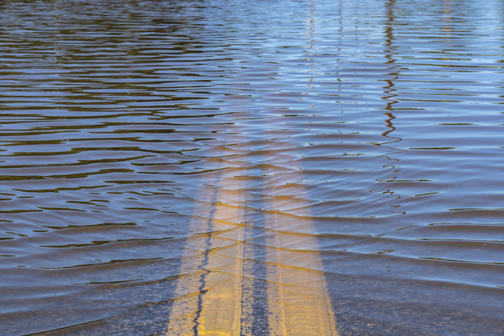
The Government of Canada has created a new platform to gauge flood risks across the country.
Technical development of Canada’s Flood Risk Finder is now complete and provinces and territories can now opt into the platform so local flood risk risk information is available and searchable in the portal for Canadians living in those jurisdictions, a Public Safety Canada release said.
“Canada’s Flood Risk Finder has been designed to promote flood risk awareness and support conversations between communities, governments, stakeholders, leaders and neighbours on how we can take action today to improve our resilience to the floods of tomorrow,” federal minister of emergency management and community resilience Eleanor Olszweski said.

Flood risk management in Canada is shared across jurisdictions and Public Safety Canada will advance work urgently with provinces and territories in the summer to support participation in Canada’s Flood Risk Finder, the release said.
“With a simple address search, users will be able to quickly find information about the flood risk in their area, rated on a four-point scale from low to extreme. This new tool complements other sources of data, like local, provincial, and territorial maps, and fills gaps that can make flood risk information difficult to obtain and understand,” the release said.
The flood risk finder was created through collaboration between several federal departments including Natural Resources Canada, Statistics Canada and Public Safety Canada, with funding provided by the Flood Hazard Identification and Mapping program.
Further information on flood preparation is available at Canada.ca/flood-risk.