The Beaver Hills was designated as a biosphere on March 16, 2016 by the United Nations Educational, Scientific, and Cultural Organization (UNESCO). This is a global recognition of a collective commitment by the communities within the region to celebrate and advance knowledge, culture, nature, and economy together. Biospheres are learning places for sustainable development and there are various projects that define the work being done in the Beaver Hills Biosphere, including the Wetland Inventory, completed by Fiera Biological Consulting in 2020.
Purpose
The Beaver Hills Biosphere initiated a wetland conservation and stewardship pilot project to explore alternative approaches to wetland management in a way that supports traditional and current cultural attributes of the Biosphere. To support this work, the Biosphere commissioned two review projects: State of Wetland Policy & Regulation and State of Science Review. A key element of the science review was an evaluation of existing spatial datasets, including an assessment of existing wetland inventories, which is an essential data set for the pilot project.
Given that accurate and up-to-date wetland mapping data is essential for improving management outcomes, as well as for identifying wetlands that have been previously impacted and are candidates for restoration, the goal of this project was to create a current wetland inventory for the Biosphere.
Approach
An existing land cover layer created for the North Saskatchewan Watershed Alliance, and derived using SPOT images from 2017 and 2018, was used as the basis for the creation of an updated wetland inventory for the Biosphere. The original land cover data set was a supervised pixel-based classification that included 15 classes, including five generic classes of wetland cover (open water, marsh, swamp, bog and fen). To create the inventory, all wetland classes were extracted from the original land cover and reassigned to a wetland cover class type. The land cover was then manually reviewed and edited to correct misclassification errors such as mislabeling, commission errors (i.e., areas mapped as wetlands that were not wetlands), or omission errors (i.e., wetland areas that were missed in the classification).
Once wetland land cover types had been assigned and checked, wetland objects were derived from the land cover data. This step is required to differentiate individual wetlands with distinct boundaries. Wetland objects were created by dissolving all adjacent wetland land cover types into single wetland objects. A four-neighbour rule was used to define a connected feature; that is, features were dissolved into wetland objects only when the pixels shared a complete side.
Once wetland objects were identified, the area and proportion of each wetland land cover type was quantified. A primary wetland class was then assigned to each wetland object based on the majority proportion of wetland land cover within each wetland object. If there was more than one land cover type within a wetland object, a secondary wetland class was assigned for each additional cover type that comprised more than one hectare or 25 per cent of the object.
Each wetland was assigned a condition attribute identifying whether the basin appeared to have been impacted by drainage or consolidation. Wetlands identified as drained/consolidated are those that appear to be losing surface water (drained) or those that may be receiving additional drainage as a result of ditching (consolidated). Wetland basins were considered to have been impacted by drainage or consolidation if a ditch within or between basins was apparent on one or more high resolution air photographs, or if there were signs of ground recontouring to improve surface drainage into or out of a wetland basin. Time series imagery on Google Earth Pro dating back to 2012 was used as a reference to determine whether a wetland had been impacted by drainage, and a confidence score of high, medium, or low was assigned to each basin that was identified as drained or consolidated.
A field reconnaissance of the Biosphere was performed in August 2020. A variety of upland and lowland sites were selected to visit based on the predictions from the land cover classification, and data collected at each site included both descriptions of classes present as well as information on condition and level of disturbance occurring at the site. The information collected in the field was used to increase the accuracy of wetland cover class assignment and to ensure consistency of the manual land cover editing and QA/QC among analysts.
Results
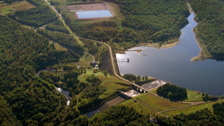
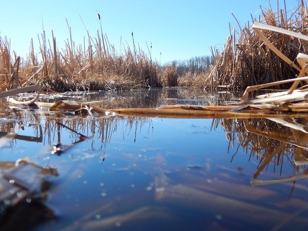
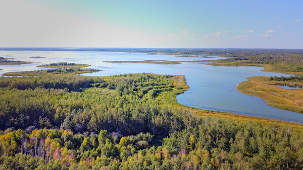
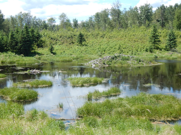
An updated wetland inventory has been created for the Biosphere that provides information on the location, class, vegetation cover type, and condition of wetlands. It includes all five wetland class types identified in the Alberta Wetland Classification System, a sixth cultivated depression class that identifies wetland basins that have been impacted by agricultural activities, as well as wetlands that appear to have been hydrologically impacted by drainage or consolidation activities.
There were 53,000 wetland objects covering over 531km2 in the Biosphere. Swamp represented the greatest proportion of wetland numbers (greater than 42,000), marsh represented the greatest proportion of wetlands by total area (greater than 28,000 ha) and marsh covering greater than 17 per cent within the Biosphere.
There were greater than 3,500 drained or consolidated wetlands; the majority of which are located on private agricultural lands. These wetlands represent a substantial opportunity for initiating restoration projects and/or engagement with private landowners on issues related to surface water management and wetland conservation.
Doing more
Having a current inventory of wetlands is foundational to numerous initiatives and efforts currently underway or planned within the Biosphere.
The inventory is made available to municipalities and organizations to aid in their land use management and decision making efforts, providing relevant information that supports spatial targeting of restoration and enhancement activities, as well as additional spatial analysis regarding wetlands and ecosystem services in the Beaver Hills.
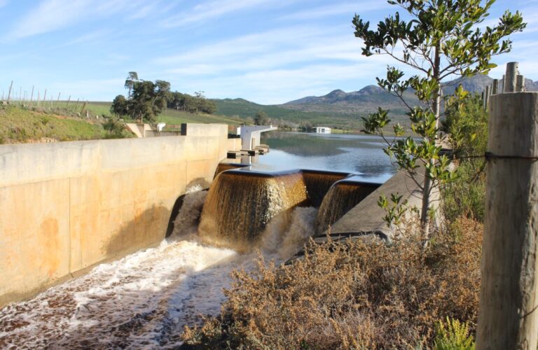
Surface water has been cited as the number one priority in the Biosphere’s Climate Resiliency Action Plan and wetlands are a critical component of surface water management. Backstopped by the wetland inventory, the Biosphere will be exploring the development of a surface water management plan for the region that includes recreational value, groundwater recharge, forage production, carbon sequestration – all valuable ecosystem services provided by wetlands.
Adding to the story
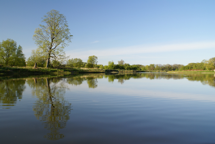
Water is an important and defining feature of the Beaver Hills. The wetland inventory data has also been harnessed by the power of ArcGIS StoryMaps to provide people with another way to view and understand the complexity of the Beaver Hills landscape and why it is so important.
Kelsie Norton was the outreach coordinator for The Beaver Hills Biosphere.