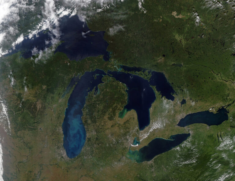
Flooding is the leading cause of public emergency in Ontario. It’s increasingly clear we are experiencing stronger and more frequent storms, and this is a pattern that will continue.
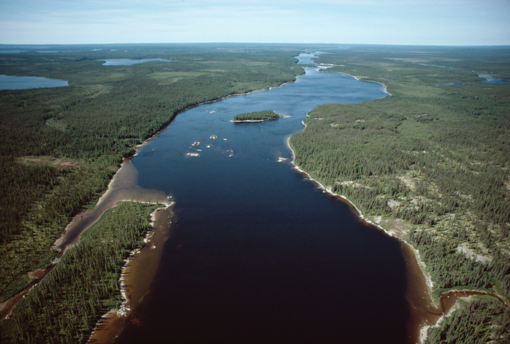
Ontario’s natural-hazard management programs and regulated floodplains have proven effective, making the province a leader in flood planning and management. This approach relies on a partnership with Ontario’s 36 conservation authorities. Since their inception in the 1940s and 1950s, conservation authorities have been delegated flood management responsibilities at a watershed scale throughout most of southern Ontario and where applicable in northern Ontario. The Ontario Ministry of Natural Resources assumes responsibility wherever a conservation authority does not exist.
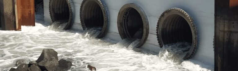
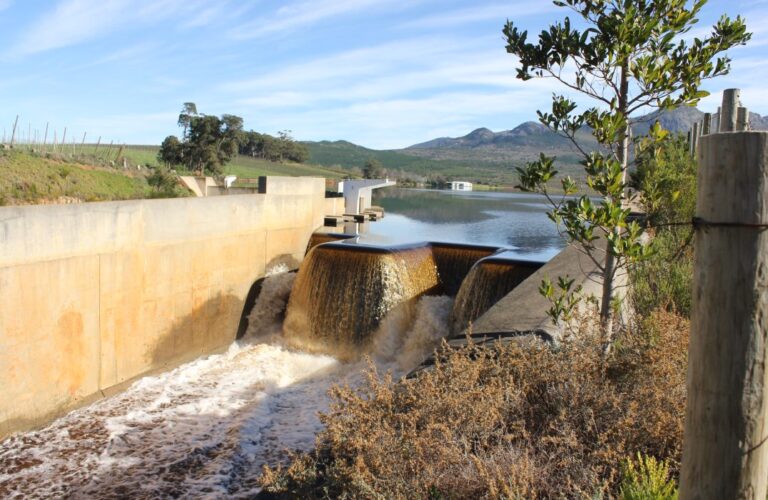
Together, conservation authorities and the Province apply a multi-faceted approach to meeting the challenge of flood events. They rely on structural measures such as dams, dykes, and other flood and erosion-control infrastructure that keep water away from people; as well as non-structural measures, which include flood forecasting and warning, floodplain mapping and regulations, and other natural-hazard management policies and programs to keep people away from water.
The benefits are further leveraged with complementary practices such as stormwater management, green infrastructure, and watershed stewardship initiatives, which also contribute significantly to building local watershed resilience enabling communities to adapt more effectively to increasing flooding challenges.
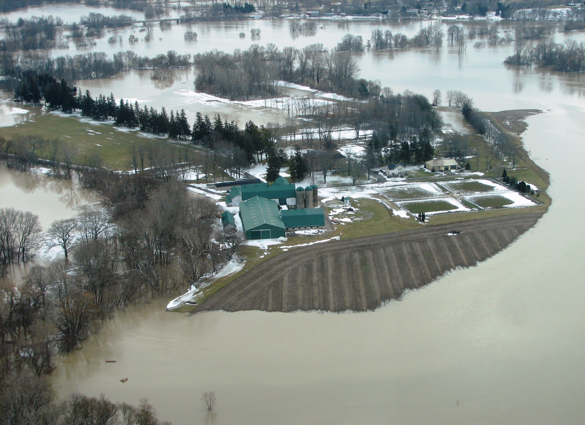
Today, conservation authorities own more than 900 dams, dykes, channels, and erosion-control structures along rivers and shorelines, providing many benefits beyond flood control. The replacement value of these structures is estimated to be $2.7 billion. Together, they protect more than 46,000 homes and prevent an average of more than $100 million per year in damages. Significant loss of life has not occurred since the establishment of flood management programs in Ontario.
Accurate floodplain maps identify where floods are expected, but Conservation Ontario estimates approximately 80 per cent of existing maps need to be updated. To replace them, we must prepare new digital maps showing the riparian topography and complete engineering modelling analysis to determine flood flows and flood levels. As well, agencies responsible for flood management should move to comprehensive digital elevation model mapping in partnership with affected municipalities that can also use this mapping for their planning work. Conservation authorities also monitor stream flow, rainfall, and snow packs; model and forecast floods; issue flood messages, protect significant natural heritage features such as wetlands and forests, which help to mitigate or reduce the impacts of flooding; inform and educate the public about flooding; and contribute to municipal emergency planning and preparedness activities.
Climate change, continuing development, and lagging investments in natural-hazard structures, tools, and programs now impair Ontario’s ability to maintain existing levels of flood protection and deal with emerging threats. Urban development is compounding the damaging effects of rainfall intensity and has diminished the capacity of watersheds to slow storm runoff and ease flood flows.
Agencies responsible for flood management require up-to-date resources and tools to meet these responsibilities—experienced professionals, accurate floodplain maps, monitoring networks, flow modelling tools, and infrastructure management systems.
The combination of measures used by the Ministry of Natural Resources and conservation authorities to mitigate the impacts of flooding represents an industry-leading, integrated approach to flood management. For this reason, existing programs to manage floods and regulate floodplains have been extremely effective to date but should be evaluated for future needs. WC
Jane Lewington is a marketing and communications specialist at Conservation Ontario. This article appears in Water Canada’s September/October 2013 issue.