The City of Castlegar has received approval for up to $399,920 through the Province of British Columbia’s Disaster Resilience and Innovation Funding (DRIF) program to advance a comprehensive Flood Plain Mapping and Climate Change Hazard Risk Assessment project.
This project will strengthen the City’s ability to understand and proactively address potential flooding events and geohazards, supporting long-term infrastructure planning and climate adaptation efforts.
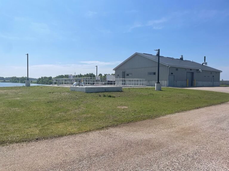
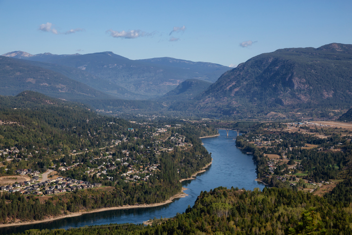
The work will include updated floodplain mapping and a hazard risk assessment for Castlegar’s six upland catchments that flow through the community – Bloomer, Merry, Killough, Schofield, and unnamed creeks, along with the catchment that crosses Arrow Lakes Drive. This assessment will evaluate hydrology, infrastructure, and potential risks, explicitly focusing on impacts to City infrastructure.
“This project supports our commitment to governance and service excellence by using sound planning and data to guide decisions that protect our community,” says Ryan Niddery, Manager of Engineering & Infrastructure. “By better understanding our flood risks, we can manage City assets responsibly, strengthen public safety, and ensure Castlegar remains a resilient community for the future.”
The project is fully funded through the DRIF program, with no direct cost to the City. The Ministry of Emergency Management and Climate Readiness administers the program, which supports local governments and First Nations in adapting to natural and climate-driven hazards.
Work is already underway, and the City will host a public open house later in 2025 to share information and gather feedback from the community. Incorporating Indigenous knowledge and perspectives is a key component of the project.