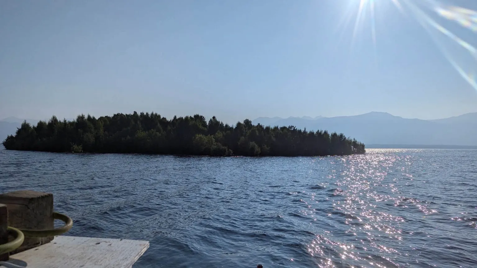
In August, boaters navigating British Columbia’s massive Williston Reservoir, the water body behind the W.A.C. Bennett Dam, spotted something that shouldn’t have been there: a fully vegetated, tree-lined island the size of a football field, drifting calmly across open water.
Within weeks, satellite imagery confirmed the landmass had vanished, triggering international intrigue. Had it sunk? Dissolved? By early September, B.C. Hydro officials located the missing island nearly 30 kilometres away, having run aground in a remote cove after being carried by wind and gentle currents.
While the mystery of the drifting forest captured public headlines, for Canadian water managers, limnologists, and reservoir operators, the event is more than a viral curiosity. It is a striking visual case study in peatland dynamics, reservoir hydrodynamics, and the expanding operational realities of climate change in northern catchments.
Anatomy of a floating bog
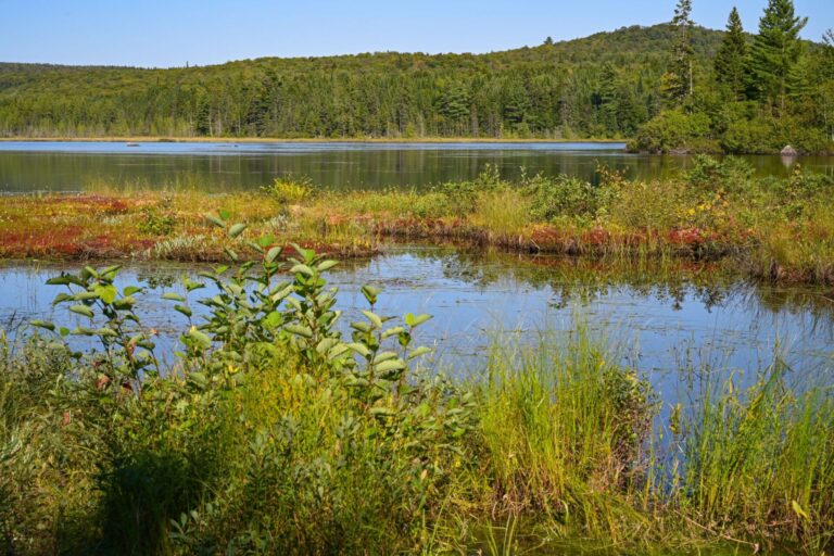
To understand how a chunk of mature forest breaks away, one must look below the surface. Floating islands—known ecologically as floating bogs, sudd, or tussocks—are complex organic mats composed of living vegetation, tightly woven root networks, and partially decomposed organic matter (peat).
In artificial reservoirs like Williston Lake, the process often follows a specific multi-decade trajectory:
- Submerged woody debris & mat building: When valleys are flooded for hydroelectric reservoirs, submerged timber, roots, and organic shorelines decay slowly under cold, low-oxygen conditions. Over decades, driftwood, sphagnum mosses, and wetland flora bind together along shallow margins, weaving an intricate sub-surface lattice.
- Methanogenesis & buoyancy: As anaerobic bacteria break down plant material within the submerged peat, they generate biogenic gases—primarily methane and carbon dioxide. Trapped within the fibrous, spongy matrix, these gas pockets act like subsurface flotation bladders, increasing the mat’s overall buoyancy.
- The hydrological lift: The critical tipping point occurs when water levels rise sharply. If a reservoir reaches full capacity for the first time in years, the sheer buoyant force of the inundated, gas-filled organic mat overcomes the tensile strength of its anchor roots along the shore. The mat shear-fractures and floats free.
Once buoyant, mature trees (often shallow-rooted species like black spruce or willow) act as sails. Guided by wind shear rather than lake currents, these islands can cover dozens of kilometres in a matter of days.
Amplified hydrological cycles
The primary catalyst for the Williston Lake event was a dramatic shift in water levels: the reservoir hit peak capacity after prolonged dry periods and subsequent intense atmospheric-river or rapid snowmelt events. Climate models consistently project greater volatility in Western Canadian hydrographs—longer droughts punctuated by intense, rapid inundations. These sharp vertical fluctuations act as mechanical levers, dislodging previously stable shoreline vegetation.
Public demand for action is rising alongside these risks; a recent national poll by the International Institute for Sustainable Development (IISD) and Nanos Research found that 72.5% of Canadians now consider improving water infrastructure an urgent priority. See the full IISD poll results.
Warming waters and gas production
Rising summer air and water temperatures accelerate microbial activity in shallow shoreline sediments. Higher biological decomposition rates yield increased methane production, directly enhancing the buoyancy of submerged peat beds and making shear-out events more likely.
Evolving operational hazards for water infrastructure
Floating islands pose distinct challenges for reservoir management:
- Navigational risks: Large, untracked floating landmasses present severe collision hazards for recreational boaters and commercial vessels.
- Infrastructure safety: If carried toward intake towers, spillways, or dam log booms, drifting organic mats can clog trash racks or strain structural barriers, requiring costly removal operations.
- Water quality & carbon accounting: When large floating peat masses detach, they expose previously buried carbon to oxygenated surface waters, accelerating greenhouse gas evasion and altering localized dissolved organic carbon (DOC) levels.
The re-emergence of the Williston Reservoir floating island serves as a reminder that man-made reservoirs are dynamic, evolving eco-technical systems. As northern climate conditions shift toward higher hydrological variability, water managers may increasingly need to factor floating bog dynamics into remote reservoir monitoring, satellite imagery workflows, and hazard mitigation plans.